• Hello, please take a minute to check out our awesome content, contributed by the wonderful members of our community. We hope you'll add your own thoughts and opinions by making a free account!

Severe Severe Wx Threat: March 28-31, 2017

Bama Ravens

Member
Joined
Jan 5, 2017
Messages
346
Reaction score
276
Location
Morris, AL (Northern Jefferson County)
Looking like this could be a rather significant threat for someone in the SE. GFS has high CAPE values back toward the Miss River Thursday afternoon.

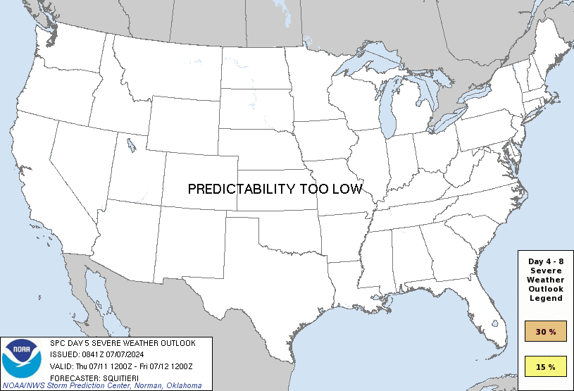
day4prob.gif


day5prob.gif
 
BMX already has a graphic for Thursday:
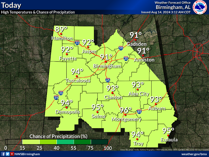
image2.png

Yeah this one looks like it's gonna have a better tornado threat vs the early week system . Cape values seem pretty high although that comment is based off the 00z euro . I haven't looked at the 12z runs yet


Sent from my iPhone using Tapatalk
 
Not real impressed with this one at this point. Looks like a QLCS with a few embedded spin ups right now.
Yeah, but seems to be a better threat than last one to me.
 
Looks like Severe Threat might be in question over Jackson, MS area Thursday according to local AFD.
 
Looks like Severe Threat might be in question over Jackson, MS area Thursday according to local AFD.
It could be a deal where its west and east of parts of the region with some areas skipped due to overnight timing
 
The severe threat for parts of MS and for Alabama now has quite a bit of uncertainty, as it looks like there could be coastal convection that cuts off the better moisture flow. We will have to wait and see, I guess.

prateptype_cat.us_se.png
 
Back
Top