pcbjr
Member
94º here ... but short lived; it is trending ...One example is Chattanooga. They are forecast to be 80 on Monday.


94º here ... but short lived; it is trending ...One example is Chattanooga. They are forecast to be 80 on Monday.
Looks like you will have to wait another week for relief if weather.com is right.


Not me I'm particularly concerned with ... more a board-wide observation ...Looks like you will have to wait another week for relief if weather.com is right.
Sounds like a Valdosta, Lake City, Hogtown January split ... LOLThe NW TX cold front was at Noon CDT barely N of Seminole, which was still up at 76 with SW winds. Watch the next hour how much Seminole drops. Lubbock, which is merely 75 miles to the NW, is already down to 50 with N winds gusting to 36 (blue norther as they call them)! Plainview, which is only 43 miles N of Lubbock, is down to 41 with N winds gusting to 31. Further north, Amarillo was down to 36 with N winds gusting to 40 and flurries less than 40 miles N of them after being way up at 57 around dawn! Now that’s a cold front!
SEMINOLE SUNNY 76 49 38 SW10 29.96S
LUBBOCK CLOUDY 50 43 77 N23G36 29.98R
PLAINVIEW CLOUDY 41 36 81 N21G31 30.02R
The NW TX cold front was at Noon CDT barely N of Seminole, which was still up at 76 with SW winds. Watch the next hour how much Seminole drops.
SEMINOLE SUNNY 76 49 38 SW10 29.96S

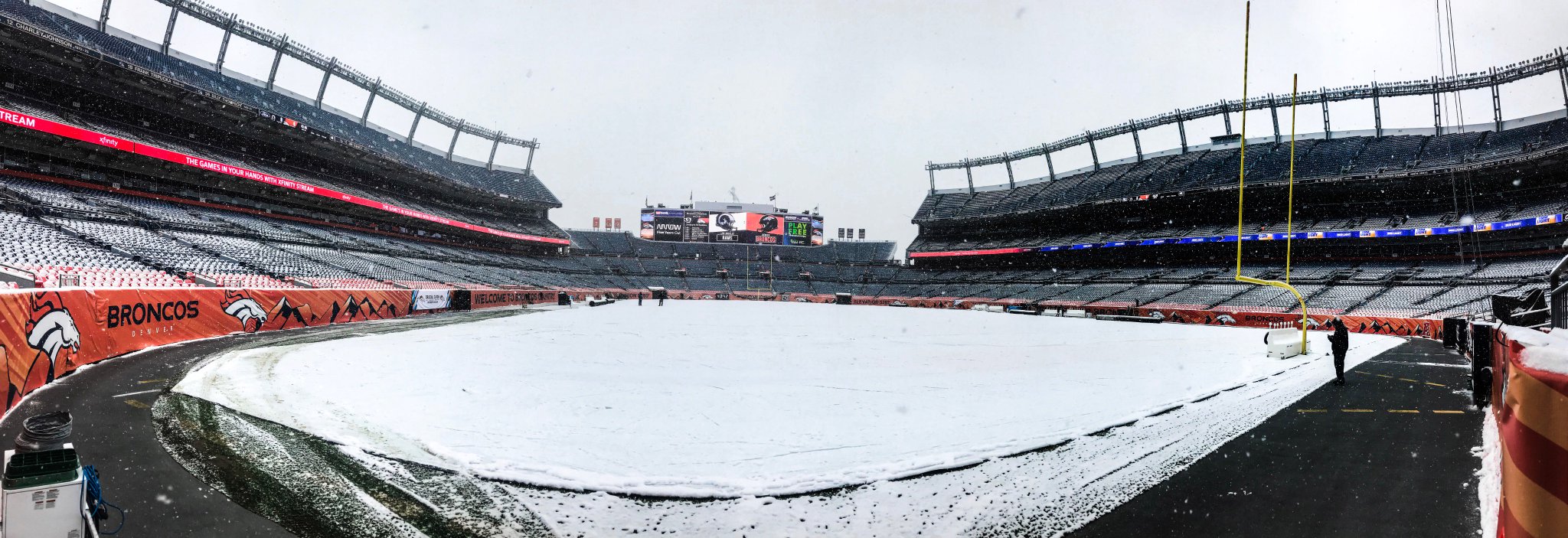
24 hr temp change. This time of year is so exciting.
As of noon MDT, Denver is a whopping 42 colder than 24 hours earlier: from 62/sunny/29.75"/SE winds to 20/SN/30.27"/N winds! Normal afternoon temp is in the 60s like yesterday.
Which model is showing 80's in Tennessee next week and what day next week are you talking about? Looks like high in the 60's and lows in the 40's.

Onto something maybe for the mountains or wishful thinking? Get the Euro and others on board and maybe it'll come to fruition.
earliest snow on record in parts of Kansas earlier
Please be a sign
I'm in Chicago and they're talking about a couple flurries in the suburbs tonight as the rain ends
Bring it, only want to cut my grass one more time....I am all aboard the frost/freeze train next week.