• Hello, please take a minute to check out our awesome content, contributed by the wonderful members of our community. We hope you'll add your own thoughts and opinions by making a free account!

Tropical TS Sebastien

Snowfan

El Nina stinks
Member
Joined
Jan 5, 2017
Messages
9,499
Reaction score
8,209
Location
Not telling
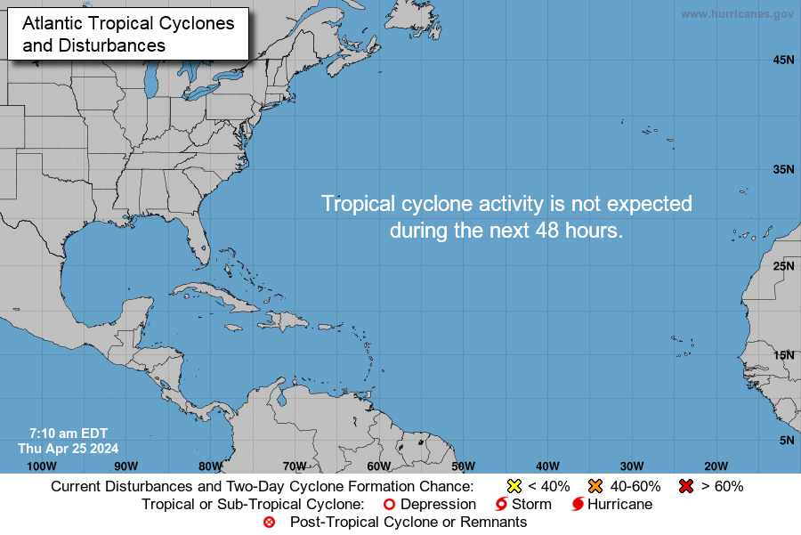
A late-season invest has been designated.
A broad area of low pressure about 500 miles east-northeast of the
northern Leeward Islands is producing disorganized showers and
thunderstorms and strong winds on its northeast side. Gradual
development of this system is possible, and a tropical or
subtropical depression could form during the next two or three days
while it moves northwestward and then northward over the open
Atlantic. The disturbance is forecast to merge with a frontal
system after midweek and further development is not expected by that
time. For more information on this system, see High Seas Forecasts
issued by the National Weather Service.
* Formation chance through 48 hours...medium...40 percent.
* Formation chance through 5 days...medium...50 percent.
 
two_atl_0d0.png

90L_geps_latest.png

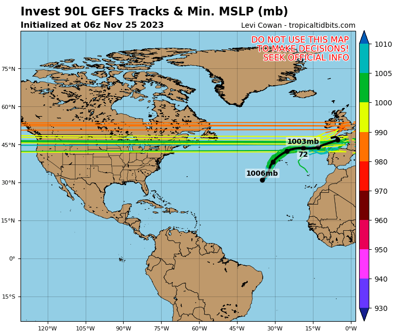
90L_gefs_latest.png

All the latest on Sebastien. possible OTS. Double whammy for Bahamas. Fingers crossed. ?? :eek:
 
And also, more like a CAT3 Or 4 MAJOR hurricane, so watch this carefully. Kind of rare to see a hurricane late in the season.
 
Only watching the storm to see if can reinforce some cold for us if it can bomb out in the North Atlantic
 
Sebastian?

Tropical Weather Outlook
NWS National Hurricane Center Miami FL
100 AM EST Tue Nov 19 2019

For the North Atlantic...Caribbean Sea and the Gulf of Mexico:

Showers and thunderstorms associated with a broad area of low
pressure centered a little more than 200 miles east-northeast of the
northern Leeward Islands continue to show signs of organization.
Although the surface circulation of the disturbance appears to be
gradually consolidating, recent satellite-derived wind data indicate
that it does not yet have a well-defined center. Additional
development is expected and a tropical or subtropical depression is
likely to form while the system moves northwestward and then
northward over the open Atlantic during the next day or two. The low
is forecast to interact with a frontal system by midweek and further
development is unlikely after that time. For more information, see
High Seas Forecasts issued by the National Weather Service.
* Formation chance through 48 hours...high...70 percent.
* Formation chance through 5 days...high...70 percent.
 
Looking good tonight better than many storms we had this yearA1D6D0D7-772D-4D3C-B518-B4ACB9796794.jpeg
 
No hurricane but he's currently refusing to listen to the NHC

"There is not much that I can add that my predecessors have not
already addressed except to say that Sebastien does not know that
is November near Thanksgiving."
 
Back
Top