accu35
Member
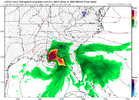 18z Icon much further west and stronger this run. Even got down to 960s before landfall
 18z Icon much further west and stronger this run. Even got down to 960s before landfall

Oh, I agree the odds are low. Something on the order of 10% or so. For the worst case to be realized, it requires the storm to undergo far more intensification than predicted. I'm always wary of RI with Gulf canes unless conditions are hostile, though.Thanks. Good post. For ATL specifically, I’m not presuming it won’t have as big an impact as Opal. But I’m giving it low odds that it will be as bad. We know Opal was still a high end TS (almost still a H) when it went by in N AL due to a combo of a MH at landfall and extremely rapid motion inland (like Helene), I don’t expect this one to be that strong.

It looks like you may be in the crosshairs, hopefully it's not too bad, stay safe.View attachment 19856018z Icon much further west and stronger this run. Even got down to 960s before landfall
You mean east?View attachment 19856018z Icon much further west and stronger this run. Even got down to 960s before landfall
A little slower, too. Slower=more west. Faster=more east. Stronger=faster/east.18z GFS little west as well with landfall
GFS is actually stronger farther inland.A little slower, too. Slower=more west. Faster=more east. Stronger=faster/east.
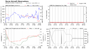
Recon is inbound. It'll be interesting to see what's under the hood.About to crank, hot towers firing in western eyewall. These should rotate around the center.

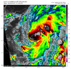 New hot tower again.

I was in my 1st year of college at Auburn so of course we threw a huge party for Opal lol. A tree landed on one of my roommates. He lived but we had to call his mom and tell her we didn't know his condition. That was an epic storm.I wonder if this could be as bad as Opal in 1995. Major damage in Georgia from that storm.
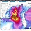
That's pretty rough comes right along FL/AL line of panhandleHMON showing a strong Cat 1 to Cat 2 at landfall. This is much stronger than 12z. The windfield aloft is absolutely massive.

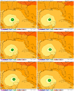

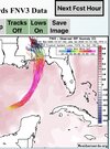


I was thinking it was more east but you think it's more west toward mobile that's where my son and grandkids. what is the wind shear looking like near the coast line
It ticked west someI was thinking it was more east but you think it's more west toward mobile that's where my son and grandkids. what is the wind shear looking like near the coast line
ok thanks not good for my kidsIt ticked west some
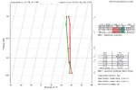

Small tick of any, still looks like Pensacola to Gulf Shores landfall.It ticked west some