LukeBarrette
im north of 90% of people on here so yeah
Meteorology Student
Member
2024 Supporter
2017-2023 Supporter
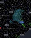
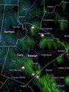
Flurries here as well.Flurries in Concord


Hmm never learned about this precip type in our intro to met class. Writing this one down for future referenceConsistent snowy rainy graupely
Some bounce, some don’t bounce but are frozen, some don’t bounce and aren’t frozenHmm never learned about this precip type in our intro to met class. Writing this one down for future reference
Just call it unknown precip.Some bounce, some don’t bounce but are frozen, some don’t bounce and aren’t frozen
I know what it is there’s 3 different types fallingJust call it unknown precip.
Let'er rip tater chips, may your coffee pots be full and your floodlights be bright!

