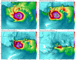
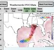
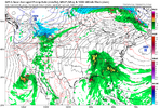
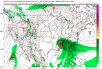
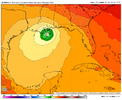
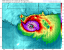
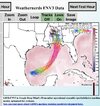
Up to 100%. Maybe a PTC coming at 5pm?
Tropical Weather Outlook
NWS National Hurricane Center Miami FL
200 PM EDT Tue Oct 6 2026
For the North Atlantic...Caribbean Sea and the Gulf of America:
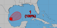
1. Southwestern Gulf of America (AL92):
Satellite images and surface observations indicate that showers and
thunderstorms are becoming better organized while surface pressures
are gradually falling. If these trends continue, advisories will
likely be issued on this system later today or tonight while it
moves slowly eastward. The low pressure area could bring gusty winds
and areas of heavy rain to the western portions of the Yucatan
Peninsula of Mexico in a couple of days.
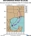
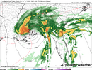
The disturbance is expected to turn to the north or northeast toward
the northern Gulf Coast by the end of the week. It is still too
early to determine specific impacts to the northern Gulf Coast, but
interests from the Florida Panhandle to Louisiana should closely
monitor the progress of this system. The NOAA Gulfstream jet is en
route to sample the environment over the Gulf this afternoon and Air
Force and NOAA reconnaissance aircraft are scheduled to investigate
the system tomorrow.
* Formation chance through 48 hours...high...near 100 percent.
* Formation chance through 7 days...high...near 100 percent.







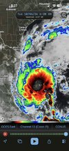
 looking really poised and healthy this morning