Webberweather53
Meteorologist
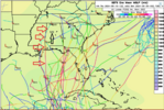
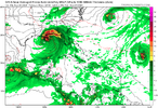
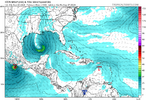
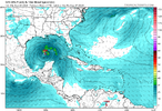
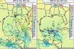
I generally like the overall look on the aifs the last several runs holistically.
If we had the kind of Central America Gyre case where we were just waiting for the Kelvin wave envelope to cross Central America to trigger everything, I’d agree with the euro on keeping development entirely in the BOC knowing how the gfs likes to speed these things up.
Oth, the trough that digs into the southern gulf in a few days and triggers QG ascent in the western Caribbean & subsidence + shear in the bay of Campeche changes the calculus of this whole setup a lot.
Eventually, the environment gets better in the bay of Campeche, but it takes longer to get conducive for large scale convective heating than in the western Caribbean

