-
Hello, please take a minute to check out our awesome content, contributed by the wonderful members of our community. We hope you'll add your own thoughts and opinions by making a free account!
You are using an out of date browser. It may not display this or other websites correctly.
You should upgrade or use an alternative browser.
You should upgrade or use an alternative browser.
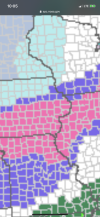
Wintry NYE/NYE Midwest Winter Storm Thread
- Thread starter Tarheel1
- Start date
It’s now casting time!  ???
???
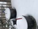
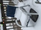
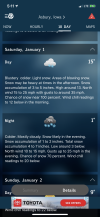
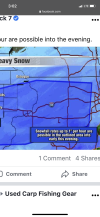
So this is turning into a dud here! 1-2” now, they can’t even get temps right! Lows were supposed to be around 5 degrees, it’s 19? guess mountains are holding back the air
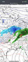
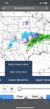
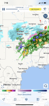
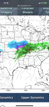
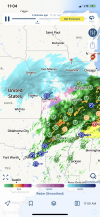
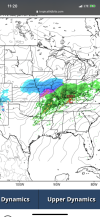
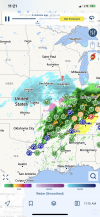
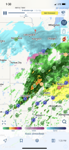
So I took some screenshot of NAM and HRRR from this AM, with time stamps, and will compare with radar around those times! Fun stuff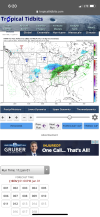
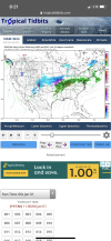
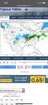
So I took some screenshot of NAM and HRRR from this AM, with time stamps, and will compare with radar around those times! Fun stuff


Cad Wedge NC
Member
That was a considerable south shift..
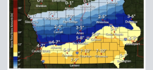
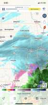
Yep, on the models, but radar is looking good to me, and like model runs from a few days ago! As bad as the hi res models look, I’m thinking 2-4” of powder. Temp is now 12That was a considerable south shift..
Broken024
Member
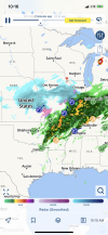
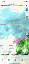
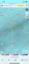
You just in here talking to yourself?When radar looks like this and it’s not even a flurry! ??View attachment 100673
Yep! Self wallowing , and watching y’all weenies get excited by the same models that burnt me todayYou just in here talking to yourself?
LukeBarrette
im north of 90% of people on here so yeah
Meteorology Student
Member
2024 Supporter
2017-2023 Supporter
How much did u end up with?

