-
Hello, please take a minute to check out our awesome content, contributed by the wonderful members of our community. We hope you'll add your own thoughts and opinions by making a free account!
You are using an out of date browser. It may not display this or other websites correctly.
You should upgrade or use an alternative browser.
You should upgrade or use an alternative browser.
November 2025
- Thread starter packfan98
- Start date
wnc gonna see some fun stuff with this. i have a feeling (nothing more than a feeling) that there could be some intriguing mischief beyond the high terrain as well, even if that winds up being a 3" lollipop in wnc removed from the border
Woodstock band starting to get more stronger. Before you gasp, that MPing report is old
Huh? 

My daughter is in Canton and says it is snowing.Woodstock band starting to get more stronger. Before you gasp, that MPing report is oldView attachment 176362
This is the GFS long range model which is not reliable for two reasons: 1. This is eleven days into the future and 2. It is the GFS. I wouldn't go out and stock up on bread and milk yet although I would love to see this forecast pan out. It would be wonderful to actually see snow on the ground for my birthday which happens to be the following day.
Why do I get the feeling this is the look I’ll be seeing alot this year
WolfpackHomer91
Member
Because that is the same footprint areas that have scored last little while. Positive tilted slider garbageWhy do I get the feeling this is the look I’ll be seeing alot this year
ForsythSnow
Moderator
Ground truth in Roswell Ga currently of flurries. Had a light one pass with the band coming
Yeah this is a compact but powerful punch coming into the region, with dynamic / forceful snows rolling into the Smokies. We won't get the upstate mesolow with this one, so unlikely to see a widespread area of light accumulating snow SE of the mountains, but we'll probably see some surprise, scattered areas of accumulation.wnc gonna see some fun stuff with this. i have a feeling (nothing more than a feeling) that there could be some intriguing mischief beyond the high terrain as well, even if that winds up being a 3" lollipop in wnc removed from the border

GFS is drunk again (but also, yes please to this happening lol)
Sctvman
Member
The latest GFS is back to showing nothing, unfortunately. But how can you not get excited with stuff like this? Would be a dream if it verified.

Bigedd09
Member
You talking like adjacent foothills or piedmont?Yeah this is a compact but powerful punch coming into the region, with dynamic / forceful snows rolling into the Smokies. We won't get the upstate mesolow with this one, so unlikely to see a widespread area of light accumulating snow SE of the mountains, but we'll probably see some surprise, scattered areas of accumulation.
View attachment 176364
Nice streamer on radar between Dillard and Clayton 
Yep. Flakes falling at Sky Valley
 www.resortcams.com
Yep. Flakes falling at Sky Valley
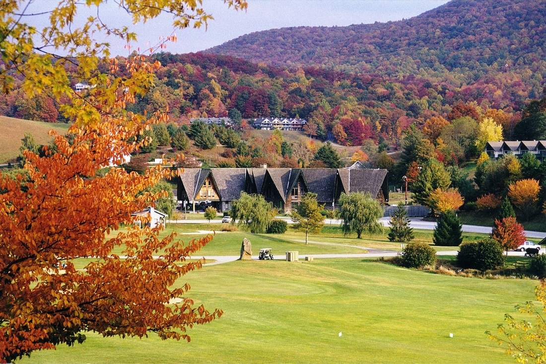
Sky Valley, Georgia - Resort Cams
Located in northern Georgia, this webcam is located at the Sky Valley Country Club golf course and features amazing Smoky Mountain views.
www.resortcams.com
Downtown Boone looks a tad brisk 
 www.resortcams.com
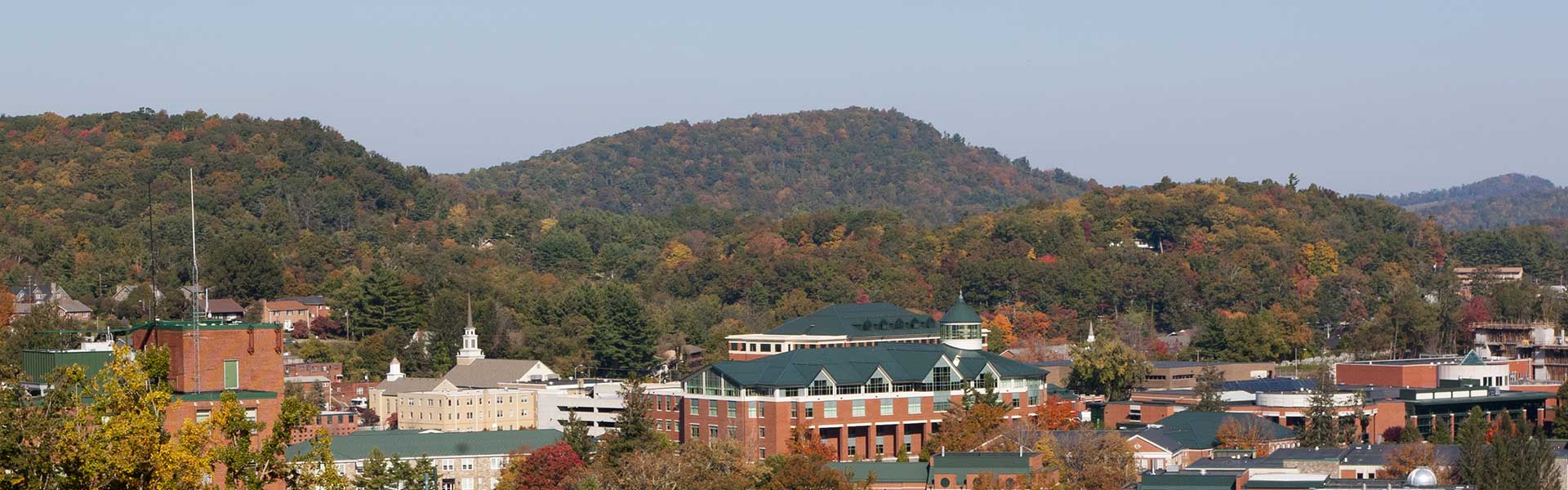
King Street Boone NC Webcam - Resort Cams
Located in the heart of downtown Boone, NC, the King Street cam gives a live, streaming view of current happenings and events taking place in the most popular town in the High Country.
www.resortcams.com
BufordWX
Member
Might be seeing a bit of lake-effect snow off of Lake Allatoona. Been seeing some noticeably higher dBZ values around the lake compared to other areas.
I'd be lying if i said i wasn't at least a little intrigued on northern upstate flurry potential from these little streamers setting up. got one off the snowbird mtns going thru far NE GA and into far NW SC, one coming off the pisgah ridge (transylvania/haywood line) and another trying off the black mountains. we'll see, but this was something even the euro/cmc depicted a few days ago before losing it as we got closerNice streamer on radar between Dillard and Clayton View attachment 176366
Yep. Flakes falling at Sky Valley
Sky Valley, Georgia - Resort Cams
Located in northern Georgia, this webcam is located at the Sky Valley Country Club golf course and features amazing Smoky Mountain views.

Showmeyourtds
Member
I just drove through this and didn't see anything reaching the ground.Might be seeing a bit of lake-effect snow off of Lake Allatoona. Been seeing some noticeably higher dBZ values around the lake compared to other areas.View attachment 176367
It can make it down here occasionally. It’s tough but all you need is the exact wind direction and there is a path to victory. Albeit very small. I’ve seen it before thoughI'd be lying if i said i wasn't at least a little intrigued on northern upstate flurry potential from these little streamers setting up. got one off the snowbird mtns going thru far NE GA and into far NW SC, one coming off the pisgah ridge (transylvania/haywood line) and another trying off the black mountains. we'll see, but this was something even the euro/cmc depicted a few days ago before losing it as we got closer
View attachment 176368

Snow_chaser
Member
Snowflakes flying in Paulding County GA.
Returns starting to get more heavier on KFFC. 
Fountainguy97
Member
November 10th. 25 degrees. More of this please! Very interested to see what the evening will do as the vort max rolls through.


Not something to get expectations up for, but scattered areas of flurries and snow showers possible with some areas of light accumulation in N SC / C & E NC / S VAYou talking like adjacent foothills or piedmont?


WXinCanton
Member
We have flurries here. Get to check another year off of not getting skunked.
Showmeyourtds
Member
Dang, must be happening everywhere else but near my place up here. Nothing thus far off Hwy 140We have flurries here. Get to check another year off of not getting skunked.
We have snow flakes in NE GA - started within the last few minutes.
SimeonNC
Member
Does precip reaching Morganton count as it breaking containment? Because if so, then containment has been broken.
SimeonNC
Member
Also, HRRR and other hires models are frickin' dogwater when it comes to these events. This is a nowcast thing imo
SimeonNC
Member
18z HRRR init vs actual radar.


Considering the fact there are reports of flurries falling in Atlanta metro, this may bode well for SC/NC folks considering the HRRR shows it breaking containment,.Also, HRRR and other hires models are frickin' dogwater when it comes to these events. This is a nowcast thing imo
Temp has held at 33.8 for a while now, impressive for early November.

ground truth saying it is snow, not rain or mixed? because the radar shows mostly rain right now over morganton, so if it is actually all or mostly snow already, that is a great sign for further east as the day progressesDoes precip reaching Morganton count as it breaking containment? Because if so, then containment has been broken.
SimeonNC
Member
i don't have the mping app or know anyone there, but any precip regardless of type breaking containment this early is amazing.ground truth saying it is snow, not rain or mixed? because the radar shows mostly rain right now over morganton, so if it is actually all or mostly snow already, that is a great sign for further east as the day progresses
We went up to 37 briefly but have held at 35 for several hours.Temp has held at 33.8 for a while now, impressive for early November.
View attachment 176384
NBAcentel
Member
This little batch ahead of the vort… wonder if this reaches the ground 