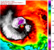
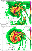
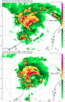
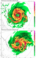
From 5 PM NHC discussion:
Hurricane Beryl Discussion Number 25
NWS National Hurricane Center Miami FL AL022024
500 PM EDT Thu Jul 04 2024
The Air Force Reserve Hurricane Hunter aircraft that left the storm
around 17Z reported that the central pressure had risen to near 974
mb, and also reported flight-level and SFMR winds supporting an
intensity of 95 kt. ***Since that time, as happened yesterday
afternoon, despite the ongoing shear the eye has become better
defined in both satellite imagery and in radar data from Grand
Cayman and Cuba. Given this increase in central core organization,
the initial intensity will be held at 95 kt pending the arrival of
the next aircraft near 00Z. Satellite imagery also shows that the
outflow has become better defined in the northeastern semicircle.***


