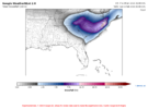
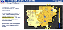
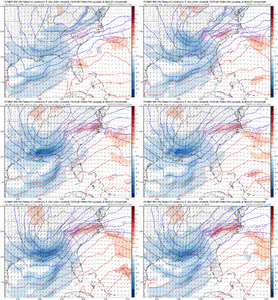
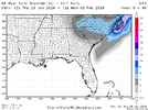
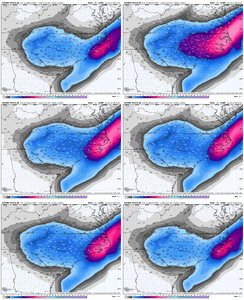
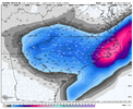
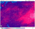
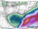
Outside chance...and this is a very outside notion think on my part--I honestly think it's not something that's too complicated. The tilt, track, and strength of the ULL has varied each run across every single model suite. One run, neutral tilt, stronger. Next run, negative tilt, weaker. Next run positive tilt, stronger, farther south. The snowfall maps reflect these very minor changes. You can watch the loops side by side with the snowfall output and easily see it. If we can get consensus around that, we'll have a good idea about the western areas. The eastern zones are going to be impacted by the handoff from the ULL to the coastal and the location at which the coastal bombs. I favor the Gulf Stream idea because of the heat flux and super duper cold core rotating over. Maybe that doesn't happen this way, but this seems most logical. That said, if we see convection all over the western Atlantic and lows forming all over the place, maybe that muddies the waters, and very little snow occurs in east-central areas. I don't see that, in the end. But it will be fun to watch unfold.
The coastal has a fujiwhara behavior and models struggling with that as it is highly uncommon? Ross alluded to this earlier and seems I read on some potential predictive forecast last night there could be a "blizzard loop" of the surface LP path. As mentioned this is not your typical ULL either and it's effects on the developing coastal seem all over the place attm. Just speculating

