-
Hello, please take a minute to check out our awesome content, contributed by the wonderful members of our community. We hope you'll add your own thoughts and opinions by making a free account!
You are using an out of date browser. It may not display this or other websites correctly.
You should upgrade or use an alternative browser.
You should upgrade or use an alternative browser.
Wintry Machine Learning Mauler 1/30-2/1
- Thread starter SD
- Start date
NBAcentel
Member
man that hook…
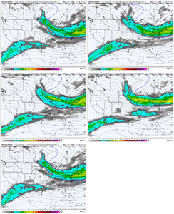
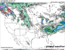
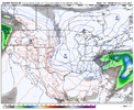
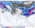
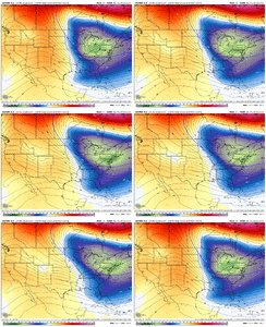
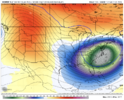
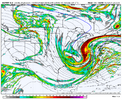
Just using the GFS for reference, I can go ahead and tell you this piece of energy that dives in out of the NW is going to be a lot faster than currently modeled. So that’s probably going to collide early with our southern stream wave which will cause more amplification. And let’s also assume our 50/50 will be scooting out quicker than modeled. Good chance this system is amplified and not nearly as suppressed and late as currently modeled. It’s virtually the same playbook again this weekend just happening a skosh further east with less chance to cut
A non zero shot at a triple phaser as well
View attachment 189328
That amount of energy over New England though….
PvilleWeather
Member
Meteorologist tag or not…reminder there is a banter thread. Otherwise, would you care to elaborate on a system that’s still 6 days out?not an alabama storm this go round, sorry
Raleighwxauthority
Member
Thats what I'm saying. My first call map will be out on Wednesday. Will probably contain somewhere in between 1-18 inches for Raleigh.Exactly what you want to see if you live in central NC at this range. Third time maaaaaybe is the charm
NBAcentel
Member
Just using the GFS for reference, I can go ahead and tell you this piece of energy that dives in out of the NW is going to be a lot faster than currently modeled. So that’s probably going to collide early with our southern stream wave which will cause more amplification. And let’s also assume our 50/50 will be scooting out quicker than modeled. Good chance this system is amplified and not nearly as suppressed and late as currently modeled. It’s virtually the same playbook again this weekend just happening a skosh further east with less chance to cut
A non zero shot at a triple phaser as well
View attachment 189328
This seems right. It is looking like a classic miller A, with a snow threat from Alabama through Georgia, the Carolinas, and up the east coast.
NBAcentel
Member
So close to that doncane evolution right there
NBAcentel
Member
BKWRN29
Member
Can you please explain what this does for the southeast as a whole? Not just the Carolina’s
i am sorry to rough up the alabama crew. i respect alabama, i spent mardi gras in mobile a few years ago and had a great time. i mean no harm.So now all the sudden you can predict what will happen one week out? Lol what changed between this weekend storm and now? A week out on the last storm, you guys thought it was gonna be a historical snow storm just to end up losing it to the north. I asked what would have to happen for Alabama to become involved
to clear up my opinion on this so far,
1. not one week out, precip for this event starts in 120 hours on the gfs. this is around the range where models turned north for this weekend's event
2. a big east coast hit still requires more trending... despite the big moves on 00z this is still an outer banks special for now. we can't say we've lost this storm because as of now we don't even have it
3. storm today (overrunning over strong high/cad) is different than what we're looking at here (classic coastal). model consensus so far brings the trough going neutral tilt over GA with the low forming off the coast of savannah. this lines up with climatology... the coast of the atlantic is a preferred area for cyclogenesis over the gulf. extrapolate the trend and sure, more westward shifts with the low/precip shield/everything is totally possible. but i don't think it gets to AL.
4. if AL was in the cards i'd want to see some proof of concept on an AI model by now
i really just don't see it for alabama. i feel totally irresponsible saying this but the storm this gives me shades of is jan 2000, with the instant occlusion/mega bomb look off the coast. i feel way more comfortable suggesting this will take more of a north-south precipitation orientation
Stormsfury
Member
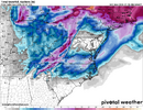
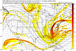
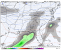
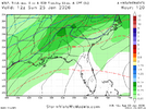
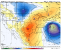
Seeing the northern players in a retrograde trend again.Gotta be some hits. Low popped offshore this run View attachment 189333
Stormsfury
Member
Can't wait to see which individual members skewed it. Thats a high average.
i am sorry to rough up the alabama crew. i respect alabama, i spent mardi gras in mobile a few years ago and had a great time. i mean no harm.
to clear up my opinion on this so far,
1. not one week out, precip for this event starts in 120 hours on the gfs. this is around the range where models turned north for this weekend's event
2. a big east coast hit still requires more trending... despite the big moves on 00z this is still an outer banks special for now. we can't say we've lost this storm because as of now we don't even have it
3. storm today (overrunning over strong high/cad) is different than what we're looking at here (classic coastal). model consensus so far brings the trough going neutral tilt over GA with the low forming off the coast of savannah. this lines up with climatology... the coast of the atlantic is a preferred area for cyclogenesis over the gulf. extrapolate the trend and sure, more westward shifts with the low/precip shield/everything is totally possible. but i don't think it gets to AL.
4. if AL was in the cards i'd want to see some proof of concept on an AI model by now
i really just don't see it for alabama. i feel totally irresponsible saying this but the storm this gives me shades of is jan 2000, with the instant occlusion/mega bomb look off the coast. i feel way more comfortable suggesting this will take more of a north-south precipitation orientation
agreed, there's a few pieces that might make this storm never happen at all if they're misaligned, but overall this has a climo storm for parts of georgia as the furthest west, carolinas written all over it. i agree about the 2000 comparison, i also think it has a mix of various other events..
just not seeing a low getting cranking hard in the gulf right now, maybe the big bend of florida at best, for a weak system that crosses florida and strengthening up the coast
Banter goes to Banter thread. Just a reminder.
for my friends in i-20, this isn't a lack of cold air; it's just a late bloom on some of these models, for us
mentioning that storm as a comp feels like yelling bomb in an airport but it's the closest to the instant occlusion/mature cyclone look this hasagreed, there's a few pieces that might make this storm never happen at all if they're misaligned, but overall this has a climo storm for parts of georgia as the furthest west, carolinas written all over it. i agree about the 2000 comparison, i also think it has a mix of various other events..
just not seeing a low getting cranking hard in the gulf right now, maybe the big bend of florida at best, for a weak system that crosses florida and up the coast
NBAcentel
Member
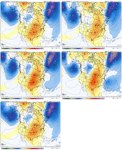
The way the northern stream is trending, starting to look like a colder version of dec 2010
NBAcentel
Member
trackersacker
Member
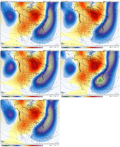
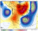
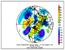
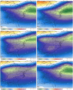
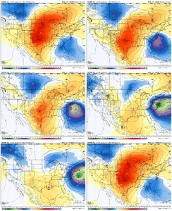
What I said earlier! Glad I’m not alone on this oneLotta similarities here. Very KU esque look View attachment 189354View attachment 189353
NBAcentel
Member
LovingGulfLows
Member
- Joined
- Jan 5, 2017
- Messages
- 1,499
- Reaction score
- 4,100
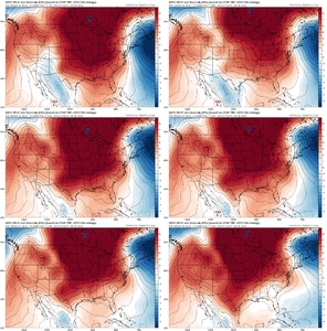
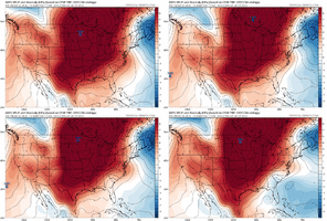
Lotta similarities here. Very KU esque look View attachment 189354View attachment 189353
Oh that's the system that gave North GA a white Christmas.
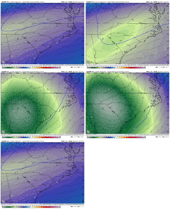
With that said, the upper level trough with this system as currently modeled looks a lot deeper(way lower anomalies) in the eastern US. This is probably why snowfall is limited in areas west of the Carolinas due to northern stream supression.
NBAcentel
Member
bncho
Member
carolinachaos
Member
for my friends in i-20, this isn't a lack of cold air; it's just a late bloom on some of these models, for us
Definitely need to differentiate, because I-20 in Atl will have different impacts than I-20 in Florence, SC. Particularly with a potential setup like this.
Sent from my iPhone using Tapatalk
NBAcentel
Member

