Forevertothee
Member
GSP is buying it
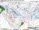
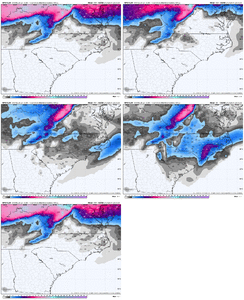
Small possibility of snow next weekend with development
of coastal low pressure to our east or southeast. If snow were to
fall, it could easily reintroduce or worsen travel impacts due to
the cold temperatures prior to onset.
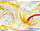
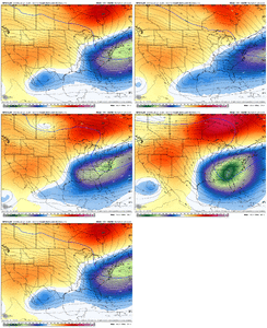
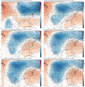
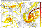
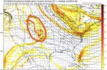
Upper low associated with polar vortex wobbles into the Atlantic
late Friday or Saturday. Models generally agree that a well
developed shortwave will encircle the low and swing across the
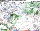
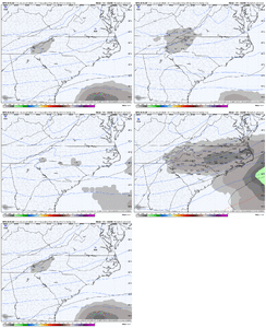
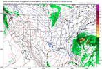
forecast area in that timeframe. A few ensemble members depict a
compact low pressure system spinning up near the SE US coast via
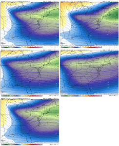
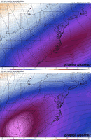
the shortwave, with vertical profiles over our area remaining very
cold due to the deep cold air which will have settled in behind
the fronts earlier in the week. The depicted position of the sfc
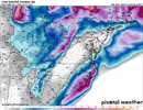
low could position the precip shield for us to see light snowfall
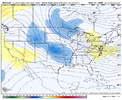
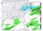
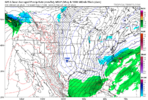
develop over the Piedmont. There appears a somewhat stronger signal
that the shortwave will produce light NW Flow snow as it passes
the mountains, and/or for some light snow to be carried east of
the mountains without a surface low forming, though snow east of
the mountains in that scenario is often overforecast. As a nod to
both possibilities, we end up with a slight chance of snow over
much of the CWA Saturday and over some of our far southeast zones
Saturday night. Given that most of the area will rise only slightly
above freezing Saturday and in the days prior, light snow would
have a greater than usual chance of sticking and causing a return
of slippery conditions on roads that have been cleared following
the early week event.

