CNCsnwfan1210
Member
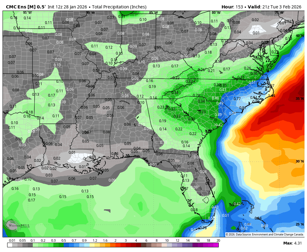
All comes down to the details... ULL is a little weaker.. a hair less tilt perhaps.. it's going to bounce around
View attachment 190676
View attachment 190677
Upper low trending slower as well
Sent from my iPhone using Tapatalk


.png")