DadOfJax
Member
Ole Goofy’s sisters showing out!
who r they? And are they pretty good?Firsthand Weather...moved snow farther SE View attachment 74909
who r they?They any goodFirsthand Weather...moved snow farther SE View attachment 74909
Yes, they are meteorologists and they are very good.who r they? And are they pretty good?
who r they?They any good
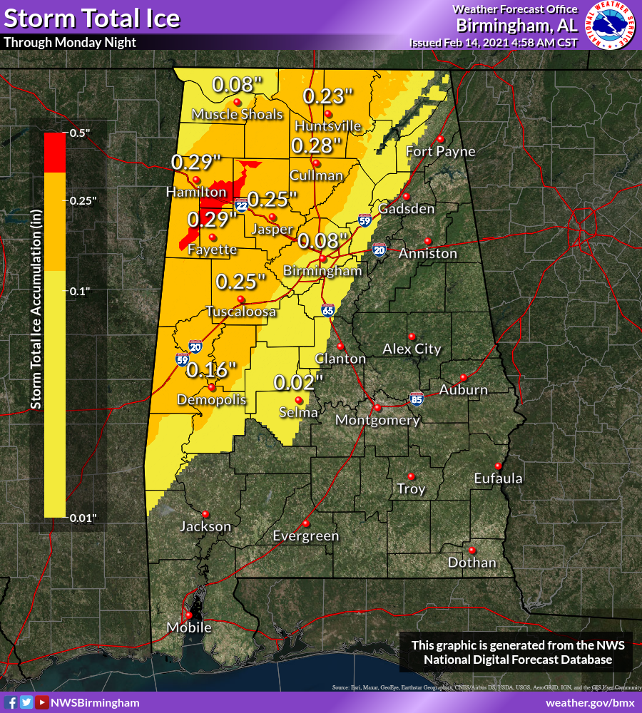
If that's a snow map then the ice should be further east correct?UKMET from first storm...adds more later in week View attachment 74916
thanks ,gonna check em outYes, they are meteorologists and they are very good.
Their area marked for ice goes a lot further into east central and and east Alabama than currently being considered.Firsthand Weather...moved snow farther SE View attachment 74909
I don't even think the entire state of GA has ever been under a warning at the same time and GA is a much smaller state so you would think it would be much easier for GA to be under a warning.The entire state of Texas has finally went under a winter storm warning. We had a few hold outs near the Rio Grande
View attachment 74918
The entire state of Texas has finally went under a winter storm warning. We had a few hold outs near the Rio Grande
View attachment 74918

Euro has been too warm and off on this system for the last week and a halfI will take the Euro every time when it comes to winter models. I know if we can get any precip at all in the next 48 hrs we are in for a ride. I know it is really cold outside in Decatur
The 2nd DFW storm is likely going to be trickier to forecast. This map shows 5-8” for Wed at DFW. Model consensus is suggesting a good 0.50-0.60” or so of qpf. So, to get 5”+ accumulation with that qpf, it would mostly need to be snow. In reality, model consensus has the 0C 850 mb line very close and for at least some of that storm a little north of them. So, although almost all of the precip is looking to be frozen as opposed to ZR, a good portion may be sleet. If so, 5”+ would be difficult IF that ends up being the case. However, it is important to keep in mind that the same amount of water equiv would be frozen. So, let’s say there is 0.50” liquid equiv and it is 3” of total accum due to a good portion being sleet, that 3” would probably have as much if not more staying power than 5” of snow because sleet is very slow to melt and it would likely be more problematic for travel/ walking.
Keep in mind that if DFW were to get two 3”+ accums in whatever form just 3 days apart, it would be the first time in recorded history.
