- Joined
- Jul 28, 2024
- Messages
- 849
- Reaction score
- 435
Near I-95 in Harnett county. Small town called ErwinRemind me again, where you live?
Sent from my iPhone using Tapatalk

Near I-95 in Harnett county. Small town called ErwinRemind me again, where you live?
Sent from my iPhone using Tapatalk


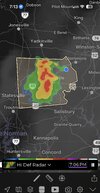

JonesvilleRemind me again, where you live?
Sent from my iPhone using Tapatalk

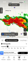

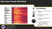


To think we still have another 2 months of summerslop
Spoke too soon. Heavy rain JUST fell yesterday when I was sleeping. LOUD lightning, SHEETS of rain. Picked up an inchNear I-95 in Harnett county. Small town called Erwin

Good example of July Fry -
Daily High Temperatures:
July 1: 96°
July 2: 99°
July 3: 100°
July 4: 98°
July 5: 98°
July 6: 94°
July 7: 94°
July 8: 97°
July 9: 97°
July 10: 97°
July 11: 93°
July 12: 92°
July 13: 84°
July 14: 89°
July 15: 95°
July 16: 99°
July 17: 97°
July 18: 96°
July 19: 99
Rainfall: .39"

I want to go all winter without a high under 50 and a low under 40. Cold sucks. Give me 60/40 all winter and I won’t complain one bit.To get maybe 2 weeks of winter if we're lucky... Yeah it's pretty amazing to think about
I've become the person who tells people online don't get your hopes up about the winter ha

It's impossible to go all winter without a low under 40, even in North Florida.I want to go all winter without a high under 50 and a low under 40 this winter. Cold sucks. Give me 60/40 all winter and I won’t complain one bit.
I know, it’s awful.It's impossible to go all winter without a low under 40, even in North Florida.
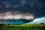
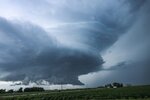
“ not my pics”The other side of Ames! This was a beast! View attachment 196932View attachment 196933
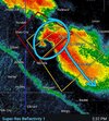
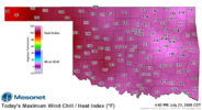

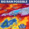
Shetley

if it’s still like this late august i’m gonna be a fried eggFall is just around the corner /sView attachment 196944

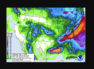
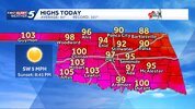

That from Snowbird Bobby?
BAMThat from Snowbird Bobby?
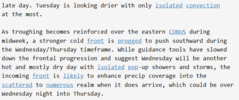
Not buying the rain solution for tomorrow...already pushed a day out...same trends exists. Modeling seems overdone and not accurate. GSP backing down from ledge too...anytime you see that many revisions.. question it...unless its obvious.
I'm not seeing this working out either. The are pushing precip chances back and lowering them left and right. We "might" get relief in September or October, but not before then.More revisions from GSP - looking at cloud cover and radar trends - I dont see the forecast verifying, or coming even close. If you are not directly under a cell or 1000' from it - you get zero. Outside of the cells moving through Virginia - most of that is not even hitting the ground.

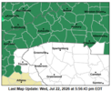
It’s interesting Union isn’t under a flood watch. Probably a quirk of you being on the border of CWAs. RAH just did a blanket watch for all counties. Meanwhile GSP decided to just leave SC out completely for now.More revisions from GSP - looking at cloud cover and radar trends - I dont see the forecast verifying, or coming even close. If you are not directly under a cell or 1000' from it - you get zero. Outside of the cells moving through Virginia - most of that is not even hitting the ground.