Stormsfury
Member
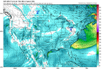
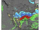
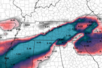
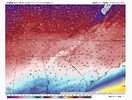
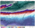
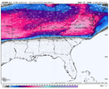
Huge problem is what's it doing at the surface, which basically defies physics. The wedging east of the apps still shows solid AG, which will cause a Miller B jump. Temps are likely too warm "south" of what it wants to depict as a "warm sector" (along with the Canadian).The UKMET is not an awful model, especially not at 500mb, which is what ultimately is driving this event.
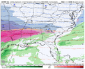
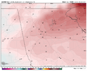
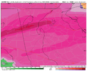
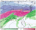
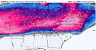
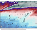
Below are the 10m GFS wind and speed. Can't believe I'm typing this but likely more aligned with reality vs the Ukmet. Below that image is the GEM, strong wedge signature (AG) thru SC and into GA, however, has 50s and 60s in the Southern half of SC. Not happening with that stout of a wedge signature across the state. I clearly suspect the UKMET is missing the east of the Apps cold press period.
