Webberweather53
Meteorologist

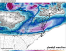
The surface high evolution here is similar to January 1988, except the cold high that's entering the US is probably going to be even stronger this time. In fact, it could threaten or break some records over the Upper Midwest.
You could probably also argue we get an even stronger warm nose aloft because the background air mass that it's originating from is a good bit warmer and moist now than it was then too.
I can see this being similar to January 1988 but a much more juiced up and maybe a slightly more amped version of it.


.gif")


.gif")


