• Hello, please take a minute to check out our awesome content, contributed by the wonderful members of our community. We hope you'll add your own thoughts and opinions by making a free account!

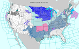
Wintry January 23rd-27th 2026

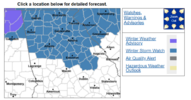
NW Alabama Ice Storm Warning

Lauderdale-Colbert-Franklin AL-
Including the cities of Tuscumbia, Red Bay, Florence, Sheffield,
Muscle Shoals, and Russellville
1104 AM CST Thu Jan 22 2026

...ICE STORM WARNING IN EFFECT FROM MIDNIGHT FRIDAY NIGHT TO 6 PM
CST SUNDAY...

* WHAT...Significant icing expected. Total snow and sleet
accumulations up to one inch and ice accumulations between one
quarter of an inch to one inch.
 
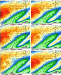
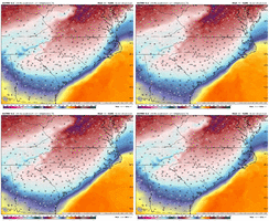
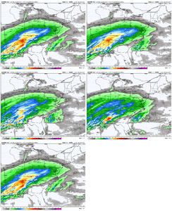
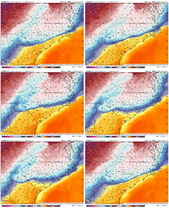
This has been a theme with the AI models...pushing the overrunning NW, really only affects Raleigh.

12z AI...it's only about 20 miles from less than .3" of QPF for Raleigh. It still has that N-S band that swings through after but that will definitely either be rain or freezing rain fro Raleigh.

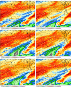
ecmwf-aifs-all-carolinas-total_precip_inch-1769083200-1769385600-1769385600-20.gif


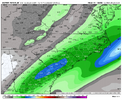
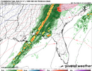
The final band to push through


ecmwf-aifs-all-carolinas-precip_12hr_inch-9428800.png
 
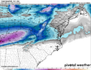
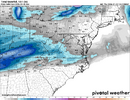
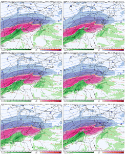
Euro with a huge cave. ATL fully in the cross hairs. WSW should be moved south soon
Pivotal hasn't gotten that far yet for me at least.... you might be right but we need to see where the precip goes. Southward shift in cold temps could also be associated with the storm track moving N.

EDIT - you were right. Ouch this run looks catastrophic for the metro.
 
Last edited:
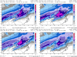
In reality as frustrating as this week has been watching the models it has played out completely in line with climo as usual. Places seeing maps with 20"s of snow when your yearly average is 3 or 4"s shouldn't be surprised. Feels like we need to post averages and climo alongside these maps sometimes just to keep all of our heads out of the clouds.

Storm trended too far south to really make sense, sucked us all in and then regulated back to something we have seen before and should expect. Nasty looking storm and I hope everyone on here is prepared and helping others prepare. One note on Generators do all your math now and make sure you understand the amperage and loads your cords can handle.
 
Okay I think forecast confidence should now be pretty high. Major ice storm south of I-64 in VA all the way to I-20 in SC/GA. Snow all the way to the Canadian border and rain to the south with severe wx along the Gulf Coast and in FL
 
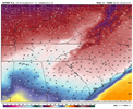
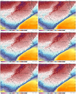
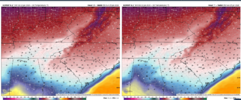
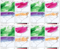
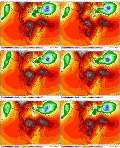
Umm -- weird. By 4pm Euro suggests ATL already up to 44º with a severe storm threat. That's a heck of a CAD erosion... has surface temps already up to 37º by 1pm.

1769104032401.png

Not sure I buy the warmup but a lot of the damage presumably would have already been done overnight by the 0.5" of ice (FRAM).
 
Back
Top