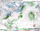
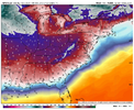
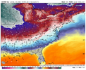
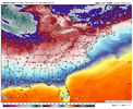
I think both sides can be true. Yes, the models have been correcting to more ridging in the SW and more troughing in the NE as we get closer in, but I'd rather have better looks on the modeling in the longer range.
Some thoughts looking ahead...
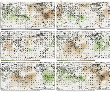
The MJO / Kelvin Wave convective signal in green here flares up in the Indo-Pacific at the beginning of the loop and thru next week, before clearing out as we lead into Christmas week (this is consistent across the modeling)
View attachment 178368
I don't particularly like the Euro BC MJO plot because it tends to show too low amplitude (especially in 4-5-6-7), but I do think this is the best representation of what we are going to see on this MJO RMM plot going forward. The pending slowdown in 8 is this interference situation going on over the next week, then the forward progress continues in low amp thru phase 8 and 1 the rest of Dec - that's consistent with the convective maps above.
View attachment 178370
On the negative side, the E Asia situation hasn't seen any improvements. Here is the GWO (Global Wind Oscillation) chart - yay, another oscillation!
View attachment 178372
Can see here where we are on the left-hand side is moving toward the -MtnTorq phase (1). My guess is that this will rotate back around toward the +MtnTorq phase (5) as we push toward late Dec which we could use more of to add more momentum in the Pac Jet and help with getting increased -EPO / +PNA ridging
View attachment 178373
So...
Positives going into Christmas week:
1 - MJO progression
2 - Timing will be post SPV weakening / stretching / reflective event which favors NPac Ridging / E of Rockies cold
3 - Model tendency for too much SE ridging
4 - Models are wanting to build Scandi - Urals ridging in the medium range (believe SD pointed this out the other day). That helps with Wave 2 weakening of the SPV and with ridging of course into the Arctic. Anything we can do to prevent a big blue ball of ++AO is a good thing.
5 - Snowpack to the north
Negatives going into Christmas week:
1 - Longer range model output doesn't look very good
2 - Going thru a period of weak EAsiaMtn Torque
3 - Climatology not great in Dec, but improves everyday as we go along and into Jan with respect to longer, broader wave lengths across the CONUS / farther south storm track / colder temperatures


