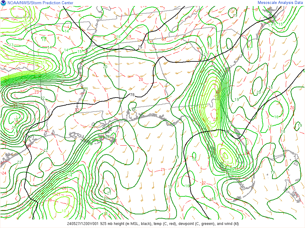
No snowflakes in Boone my friend. Cold rain. Ice has mostly melted since early this morning. 35F.Looks like freezing rain on top of beech this morning.
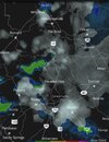
Wait for the image to pan right and look at the small trees.
Web Cameras | Beech Mountain Resort
Check our web cameras at Beech Mountain Resort! Get live views of the slopes, weather conditions, and scenic landscapes to plan your visit.www.beechmountainresort.com
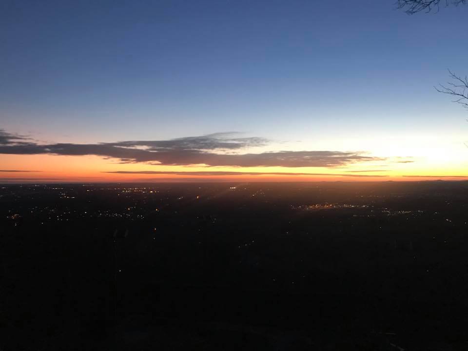
Then you can see snowflakes in Boone:
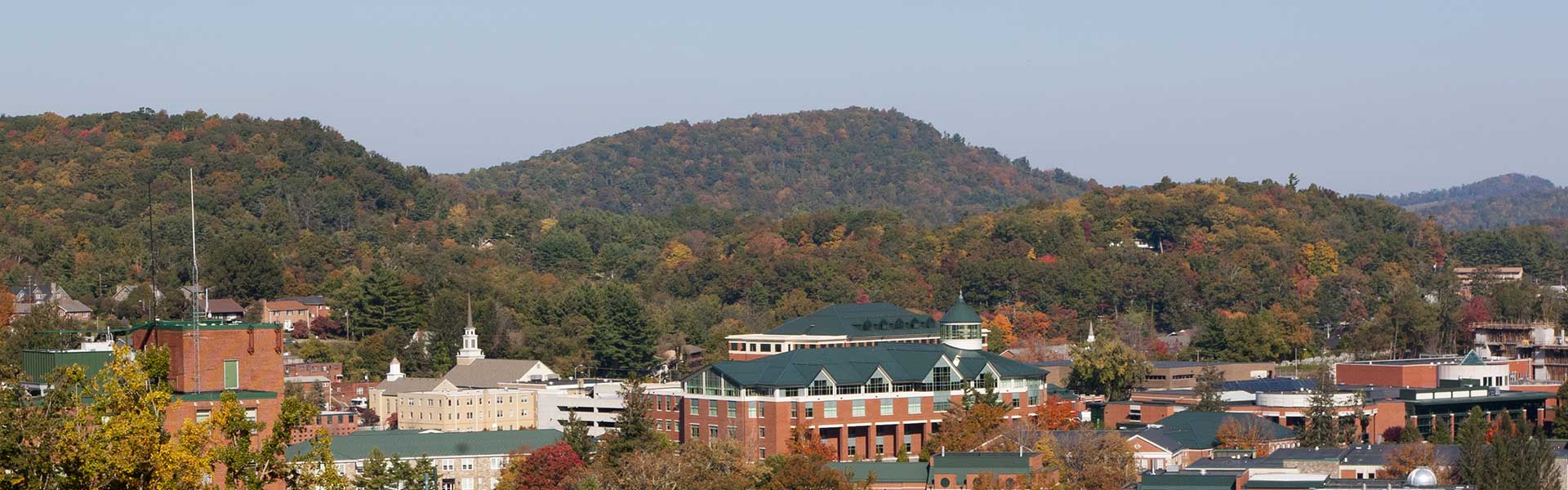
King Street Boone NC Webcam - Resort Cams
Located in the heart of downtown Boone, NC, the King Street cam gives a live, streaming view of current happenings and events taking place in the most popular town in the High Country.www.resortcams.com
Last edited: