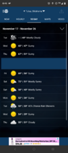
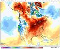
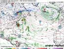
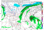
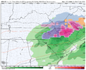
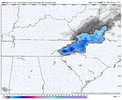
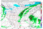
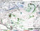
You asked. Latest 12z looks almost as good as the Euro control run ole Mitch just posted.What's the 6 billion hour CFS saying?

You asked. Latest 12z looks almost as good as the Euro control run ole Mitch just posted.What's the 6 billion hour CFS saying?
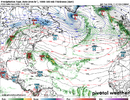
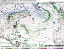


We'll see if these repetitive ridge builds say-hold my beerQpf looking better as we head into Thanksgiving and beyond. Nino finally gonna Nino and maybe just maybe we start to work on this drought



NWS AFD.. KILM..
A developing coastal low/storm could bring some much needed rain
and unsettled weather late Friday and this weekend.....
**
A developing coastal low/storm could bring some much
needed rain and unsettled weather late Friday and this weekend.
A coastal low is forecast to develop off the Florida Atlantic coast
and track northward along the Southeast coast late this week into
the weekend. While considerable uncertainty remains regarding it`s
eventual track and intensity, periods of rain cloud overspread
portions of the area Friday night into Saturday.
The potential exists for some widespread beneficial rainfall with
the overall coverage and rainfall amounts dependent on the storm`s
eventual evolution.**


And both Tropical Tidbits and Pivotal weather are stuck on hour 120 for the GFS.Well, the NWS website is currently down.
Well, the NWS website is currently down.
Apparently NOAA is undergoing system maintenance until 2pm EST. This would explain the halt on model output.And both Tropical Tidbits and Pivotal weather are stuck on hour 120 for the GFS.

I gotta have my quarter daily model fix!Isn't it too early in the season to be examining the GFS real time? It actually may never be appropriate now that I say that.

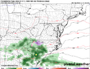
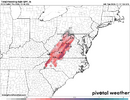
Misses the mark on Turkey day as well ( wide right again ots) connects last day of month finally on an apps runner. Hopefully a hiccup. It was the euro last night that introduced the Howler as a threatEuro keeps the super howler offshore

Here you go GAIf any of you have access to WxBell EPO forecast graphs from the 2 week ensemble means of GFS and Euro, please post them if you don’t mind. I want to see if either is still forecasting a period of -EPO anytime during the rest of November. This is for analogging purposes. TIA
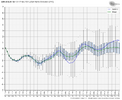
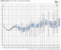
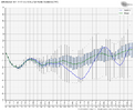
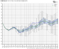

December 2023 was a very scary day here. It was one of those days I was just waiting for the roof to come off at work under a tornado warning.Christmas 1982 and 2015 both had tornadoes around here even. Both super El ninos even!
Of course growing up in Alabama it happened a lot more than that... Today was the anniversary of Huntsville in 1989
It's just one of the disadvantages of living near the Gulf
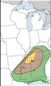
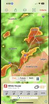
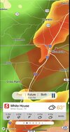
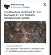
That tornado really messed up Hendersonville. I watched this event as it happened with Brandon Copic and Vince Waelti. The city of Nashville itself was lucky that night.December 2023 was a very scary day here. It was one of those days I was just waiting for the roof to come off at work under a tornado warning.
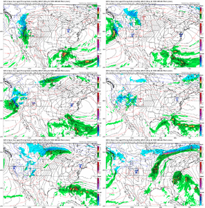
View attachment 199799View attachment 199800View attachment 199801View attachment 199802


 that would be a huge story for this year of warmth