• Hello, please take a minute to check out our awesome content, contributed by the wonderful members of our community. We hope you'll add your own thoughts and opinions by making a free account!

Pattern Octorchber

Man, with how this year is (strangely) evolving, I honestly don't know what to wish for; maybe more Siberian snow cover, continued warm NW Pacific waters. I've seen a lot of YouTube videos with (warm and cold) winter forecast, and I don't believe any of them,
Man, we're in uncharted territory. Don't nobody know nothing. We're going to get multiple winter storms this year and one will be a BIG dog.
 
I want to say Thank You for reporting posts instead of cluttering up threads with a bunch of back and forth.
 
Hate to start the day off with bad news. But every single Op model has zilch -tenth of an inch qpf across the Carolinas/ GA & TN out through October 28th. The tenth some of them give to a select few of us , is from the front passage Friday. October is generally a dry month in the SE and flips as November progresses so this is not shocking.
 
Anyone up on the east coast needs to look for SpaceX launch in like 5 mins...should produce the "jellyfish" effect
Actually saw the last time this happened and it was really a spectacle. Had no clue what I had witnessed till some of yall helped me identify. Thanks for the heads up
 
Right on Cue...for Octorchber ...it's got to end right?
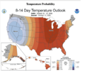
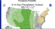
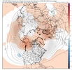
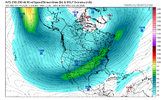
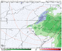
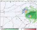
View attachment 198893View attachment 198894

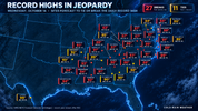
You would think but this is just another reason I don't have a good feeling about winter. It's been relentless here with record highs all year

I mean at least we are turning the page on drought out here though. That's the one good thing about this pattern
 
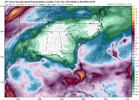
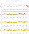
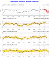
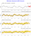
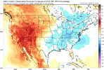
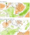
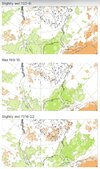
It is per models clearly looking dry in the SE the next ~2 weeks. The Euro Weeklies have been showing this for a number of runs. However, those same EWs for 6 straight runs have also been showing the likely El Niño induced polar opposite (wetter than normal) for every one of the subsequent 4 weeks ending the Sun of Thanksgiving Week (as far out as they currently go):

IMG_2920.jpeg
IMG_2921.jpeg
 
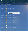
Friday Night
Partly cloudy, with a low around 50. West southwest wind 11 to 14 mph becoming north northwest after midnight. Winds could gust as high as 26 mph.
Saturday
Sunny, with a high near 64.
Saturday Night
Mostly clear, with a low around 42.
Sunday
Sunny, with a high near 60.
Sunday Night
Mostly clear, with a low around 42.
Monday
Sunny, with a high near 65.
Monday Night
Mostly clear, with a low around 48.
Tuesday
Sunny, with a high near 70.
Tuesday Night
Mostly clear, with a low around 48.

😍🥰😘😻🍂🍁
 
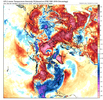
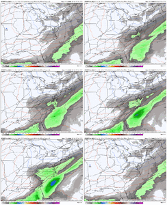
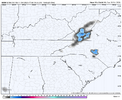
This is an insane trend we are seeing in the short range. View attachment 198906

d2591bba313133d7d991eb746ade00f7.gif

It’s easy to see why…trough is trending slower, deeper, and further SW.


Sent from my iPhone using Tapatalk
 
Back
Top