Carolina Fever
Member
Don't think getting down to the 40s Monday is much of a torch.



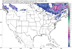


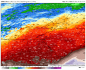
a low amplitude roller coaster lollooks like a bit of a roller coaster coming up the next 10-14
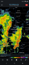
When it comes to Oklahoma they don’t call it “Stormin’ Norman” for nothingWelcome to October. The pattern change is already underway here!
I've already seen somebody claiming this will be a way different month than September. Friday may stay in the 60s all day! We only had 1 day below 85 even in September View attachment 198361

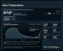
I was watching this as my first real "upslope" opportunity. Models are from 1 inch to 3 in Brevard/Cedar Mountain. Experience from this forum has educated me on the upslope components and how it can over perform.This weekend screams overperformer along the eastern and southern escarpment in NC/SC/GA. I expect 4"+ in a lot of areas along 85 NW.



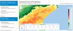
Think you guys will be fine to net a solid 1-2 + between Sat-Mon. Up this way the euro Op and GFS Op look better overnight, but the ukmet,Icon and Can as well as the Nam and RDPS arent giving us much love .5 or less. Get locked in on the wrong side of the wedge boundary / Drizzle fest inbound. Take what we can get. You should benefit from the wedge boundary sitting and stalling right over top of your location, if not spending time on the SE sideILM poo-pooing rainfall totals coming up vs what WPC is showing. With the 13 month drought now I'll believe it when I see it. Hopefully we get a soaking in the coastal plains of SC/NC.
Models now seem be back off on some this … very dry here
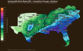
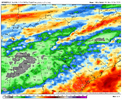
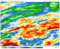
Yeah I do wonder how this product will pan out. I feel like since it's a multimodel consensus it will end up spreading the totals too wide and bust on the high side for quite a few but a good case study to see if there is something I can do to make it betterThis map shows that I’d get within just the next 96 hrs about as much as I got in all of pretty dry Sept. So, I hope it verifies pretty closely. In reality due to the showery nature of some of this producing isolated heavy amounts, I realize there may be significant variations in totals within pretty short distances though.
Yeah I do wonder how this product will pan out. I feel like since it's a multimodel consensus it will end up spreading the totals too wide and bust on the high side for quite a few but a good case study to see if there is something I can do to make it better


Can't wait to see it tested with snowYeah I do wonder how this product will pan out. I feel like since it's a multimodel consensus it will end up spreading the totals too wide and bust on the high side for quite a few but a good case study to see if there is something I can do to make it better

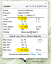

Yeah that place is really cool. I've visited the observatory there when I lived in Massachusetts.


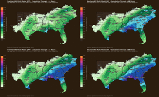
So since this is multi model, I guess those with higher totals can somewhat skew that map. Well guess those with lower totals could as well duh lol. I'm betting the streak and unfortunately saying it's overdone for northern portions anyway

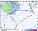
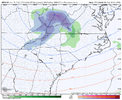
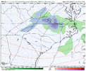
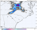 Boys and girls, happy hour is back on the GFS.


No doubt. I just came inside from yard work, and I'm soaked in sweat. Missed the rain here...so far.80/77 here right now. Thats gotta be close to a record high dew point for October. Lawrenceville is showing a dew point of 79 as well.
Already picked up a decent amount of rain this morning as well. 0.77”