lexxnchloe
Member
A bit of rain for SE GA
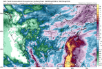


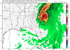
Fantasy land for sure but it has been persistently by itself in this but like you said it's been persistentY’all folks over in the Carolina’s want some rain? GFS isn’t letting this go “yet”:
View attachment 197984
Euro needs to agree.Y’all folks over in the Carolina’s want some rain? GFS isn’t letting this go “yet”:
View attachment 197984

Went from Texas to NC in like 3 runs. At least we have clown maps again.Y’all folks over in the Carolina’s want some rain? GFS isn’t letting this go “yet”:
View attachment 197984

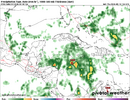

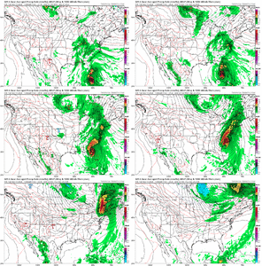
Maximum damage hurricane. Couldn’t draw it up any better..er worse
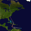


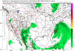
Wind map was meh except for south Florida and coastal and eastern NC...Maximum damage hurricane. Couldn’t draw it up any better..er worseView attachment 197990

No longer on its own. Euro beginning to get onboardIt's pretty crazy that the GFS won't let go on this CAG idea. GEFS has shown interest too and even ramped it up on this run.
For now since it seems on its own, I'd give it a 20% chance something happens at most.
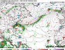
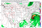
Long way out obviously, but that’s 1040mb HP over New England. Couple that with any low coming up the coast along with the astronomical high tides of the harvest full moon and it you’re talking major coastal flooding and erosion along with high winds from the pressure gradient
That is the classic JB pattern.Long way out obviously, but that’s 1040mb HP over New England. Couple that with any low coming up the coast along with the astronomical high tides of the harvest full moon and it you’re talking major coastal flooding and erosion along with high winds from the pressure gradient

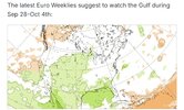
Another thing to keep in mind is if you look back at past El Niños. If you get an active period with tropical activity, it often is late season storms doing it. Ida in 2009 became a hybrid storm but gave significant impact up and down the east coast on November 2009 and Joaquin in October 2015 combined with an upper low to produce major flooding in the eastern CarolinasI wouldn't sleep on these late month systems. Ops are a lot more bullish about getting the "mjo" into a more favorable location than the smoothed means. The individual members have a lot of random activity after d10. That euro Joaquin redo has a little bit of support
Another thing to keep in mind is if you look back at past El Niños. If you get an active period with tropical activity, it often is late season storms doing it. Ida in 2009 became a hybrid storm but gave significant impact up and down the east coast on November 2009 and Joaquin in October 2015 combined with an upper low to produce major flooding in the eastern Carolinas
After 6-7 consecutive runs with a system the gfs has finally backed off the last 2 runs. 06z is still running but no development through 246 hours
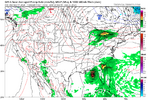
One of the waves of low pressure that helped to form the Perfect Storm in 1991 produced a major early season winter storm in the northern Plains and upper Midwest. Minneapolis had over 20” of snowfall from that stormSome other notable hybrid autumn storms during strong El Niños:
-1991: The “Perfect Storm”, an unnamed cat 1 hurricane in late Oct was originally extratropical but it transitioned after absorbing Hurricane Grace.
-1982: I posted about this earlier this week. There was a strong low that formed in late Oct near 30N, 75W that then moved N to Hatteras and combined with a cold Canadian high in the NE to produce a big cold mess within a few hundred miles of the E coast.
Gfs is really only 5 days away from development on the 18z although it's weak and not really showing much space for through the run

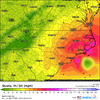
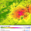
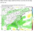
18z GFS does a NC coast stall and drifts it inland. That’s just the latest track presented.Gfs is not giving up but still all alone
Anti climate policies…. HahaIgnorance is suggested in this on several levels although I suspect some trolling is occurring. Yes, believe it or not, these are real posts!
View attachment 198041
18z GFS does a NC coast stall and drifts it inland. That’s just the latest track presented.
This model is stubbornly determined to LF this thing in the Carolinas, somehow. Someway. It’s presented different tracks to getting there, but it always seems to find a way. And it doesn’t care about the other models at all.
Gfs was persistent for a day or 2 but is clearly now just out to lunch on any type of TC genesis in the extended range