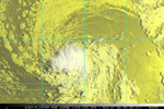
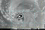
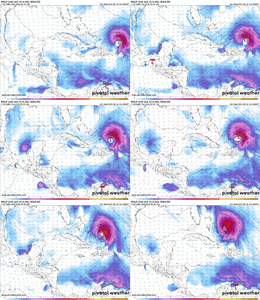
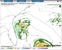
^Though not 96L, I’m posting the 168 hour sfc map of the 12Z UKMET here as a follow-up to my post just above to show that very weak low (1012 mb) moving W and approaching NE FL:
View attachment 197596
Not only did that preceding low appear on the 0Z UK, it is actually classified a TD on the 0Z at hour 108 in the subtropics and a TS at hour 132 on a WSW track ending not too far offshore E coast of FL on the way to a hit there on Sept 3rd as it is trapped by a strong SE H5 high:
NEW TROPICAL CYCLONE FORECAST TO DEVELOP AFTER 108 HOURS
FORECAST POSITION AT T+108 : 29.9N 72.3W
LEAD CENTRAL MAXIMUM WIND
VERIFYING TIME TIME POSITION PRESSURE (MB) SPEED (KNOTS)
-------------- ---- -------- ------------- -------------
1200UTC 31.08.2026 108 29.9N 72.3W 1014 25
0000UTC 01.09.2026 120 29.4N 72.3W 1011 30
1200UTC 01.09.2026 132 28.9N 72.4W 1007 35
0000UTC 02.09.2026 144 28.0N 73.7W 1005 37
1200UTC 02.09.2026 156 27.3N 75.6W 1005 38
0000UTC 03.09.2026 168 26.8N 77.3W 1003 37
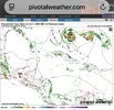
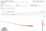
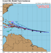
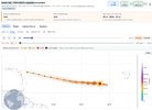
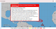
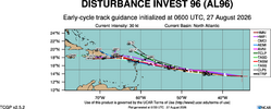
Meanwhile, 96L is initialized as a TD, which is consistent with its 12Z run. Again, it remains a TD moving rapidly WNW in the MDR with a skimming of the N Leewards. It then becomes a TS but then it turns NW and NNW due to Fujihara around the preceding TS. It is on the image I posted above to the E of the preliminary low as it is Fujihara’d NNW and is weaker than the TS on the way to FL:
TROPICAL CYCLONE DEVELOPED IN THE MODEL ANALYSIS AT POSITION : 14.1N 33.5W
LEAD CENTRAL MAXIMUM WIND
VERIFYING TIME TIME POSITION PRESSURE (MB) SPEED (KNOTS)
-------------- ---- -------- ------------- -------------
0000UTC 27.08.2026 0 14.1N 33.5W 1011 29
1200UTC 27.08.2026 12 13.8N 37.1W 1010 29
0000UTC 28.08.2026 24 14.2N 41.5W 1010 29
1200UTC 28.08.2026 36 14.4N 46.4W 1011 31
0000UTC 29.08.2026 48 15.1N 50.8W 1011 29
1200UTC 29.08.2026 60 16.0N 54.9W 1012 32
0000UTC 30.08.2026 72 16.8N 58.5W 1012 30
1200UTC 30.08.2026 84 18.2N 61.9W 1012 32
0000UTC 31.08.2026 96 19.3N 64.9W 1011 30
1200UTC 31.08.2026 108 20.8N 67.1W 1011 31
0000UTC 01.09.2026 120 21.9N 68.8W 1011 29
1200UTC 01.09.2026 132 22.5N 70.0W 1009 30
0000UTC 02.09.2026 144 23.6N 70.4W 1007 32
1200UTC 02.09.2026 156 25.5N 70.9W 1007 36
0000UTC 03.09.2026 168 27.2N 71.6W 1008 37
Complications like this fascinate me as they make the forecasting much more difficult, which makes for more interesting forecast discussions.