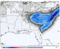
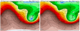
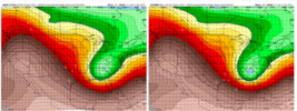
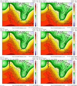
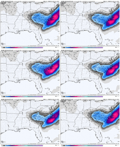
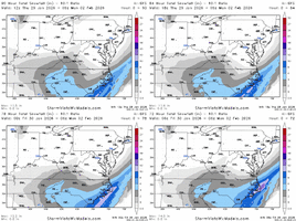
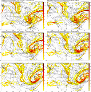
Conditions should rapidly deteriorate
Sat morning as the anomalous
deep
trough for this
latitude begins to close over the southern
Appalachians. Moist isentropic ascent will become deeper/stronger
through the morning and into the evening resulting in more
widespread light snowfall. Areas of moderate to heavy snowfall
appear
likely to develop where an H850 FGEN band strengthens
over the Carolinas. Where this develops will
likely be the first
of two potential significant areas of precipitation, but even
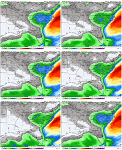
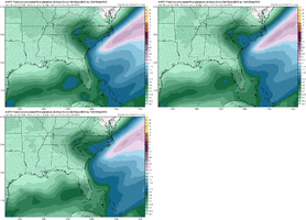
at this time range, models are struggling with its
placement/magnitude. The general consensus appears to be
somewhere near the
NC/SC border and arcing generally northeast
into portions of central
NC. Where this initially develops may
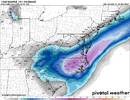
be very slow moving and produce an area of 8-12 inches of
snowfall through
Sat evening within a larger area of 3-7 inches.
By
Sat evening, intense lift is expected to reach the
Gulf Stream
and rapidly deepen a broad area of low pressure just off the
NC
coast in a instant occlusion surface low pattern. This is when the
H850 FGEN band is expected to shift more rapidly eastward and pivot
into a north-south orientation within the H850 cold conveyor belt.
Where this sets up, probably along and-or-east of the I-95 corridor
towards the Carolina coast, remains uncertain. This area will
likely
result in another maximum of snow amounts where 10-12+ inches will
be most probable. Whether this occurs in our area or not is
difficult to say and depends on how rapidly the low off the coast
deepens, slow development would keep this axis farther inland.
Also during this time, sustained winds of 20 mph and gusts 25
to 35 mph will
likely create
blowing and
drifting snow,
especially along and east of I-95 corridor, and may reduce
visibility to less than 1 mile. Brief
blizzard conditions can
not be ruled out. Sporadic
power outages may also occur, but
high SLR should limit accumulations in trees and prevent this
from being a larger concern.

