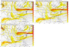
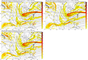
-
Hello, please take a minute to check out our awesome content, contributed by the wonderful members of our community. We hope you'll add your own thoughts and opinions by making a free account!
You are using an out of date browser. It may not display this or other websites correctly.
You should upgrade or use an alternative browser.
You should upgrade or use an alternative browser.
Wintry Machine Learning Mauler 1/30-2/1
- Thread starter SD
- Start date
NWS RAH is calling for 2-4. I know they are conservative but would have thought the numbers would be higher than that. Like 4-6 probablyCatching up from overnight. It's funny to see the Euro now showing more than the GFS. It has over a foot here while the GFS backed down to 7 to 8. Canadian still showing over a foot, too. I think folks are being cautious calling for anything less than 8 to 12 inches for my area.
That possible dry slot though! Wait and see! All we can talk is models til it’s falling!Catching up from overnight. It's funny to see the Euro now showing more than the GFS. It has over a foot here while the GFS backed down to 7 to 8. Canadian still showing over a foot, too. I think folks are being cautious calling for anything less than 8 to 12 inches for my area.
BHS1975
Member
I think the models aren't agreeing on where it bombs.Trying to catch up here from the overnights. Is the coastal LP not bombing as much or at least not off the NC coast? Seems the ULL is the big hitter
Brandon10
Member
History says this baby is gonna bomb over the Gulf stream, and looking at where the warmest waters is, I would likely bet near Hatteras.I think the models aren't agreeing on where it bombs.
rburrel2
Member
- Joined
- Jan 23, 2021
- Messages
- 4,603
- Reaction score
- 15,199
- Location
- Lebanon Township, Durham County NC
RAH is calling for 8-10 for you.NWS RAH is calling for 2-4. I know they are conservative but would have thought the numbers would be higher than that. Like 4-6 probably
packfan98
Moderator
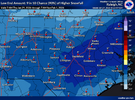
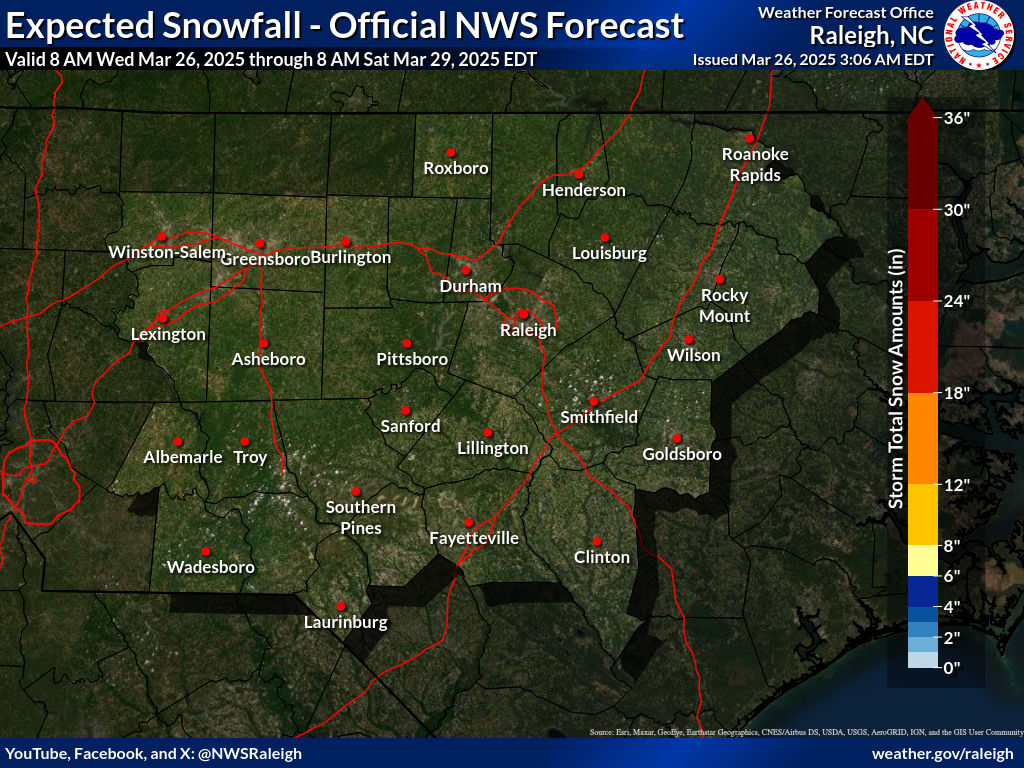
Not sure where you are seeing 2-4. Here's the official event total accumulations.NWS RAH is calling for 2-4. I know they are conservative but would have thought the numbers would be higher than that. Like 4-6 probably
Last night Fishel was on the Carolina Weather Group with Frank Strait and to be honest, two other gentlemen that I don’t know. He spoke of the LP bombing out sooner and closer to the coast due to the Gulf Stream and how the models may not have a great handle on that. ( similar to the Dec 89 storm. I don’t recall all the specifics but he mentioned speaking with a MET who was a professor at State at that time who is currently in Hawaii. I’m sure you could find the video or others here could speak on it more usefully!Trying to catch up here from the overnights. Is the coastal LP not bombing as much or at least not off the NC coast? Seems the ULL is the big hitter
Nomanslandva
Member
I like your chances better than mine. Sort range models look terrible up here for the most part.
Sent from my iPhone using Tapatalk
Found 5-8 in the Watch notice. 2-4 in their regular day-to-day forecast outputRAH is calling for 8-10 for you.
Tsappfrog20
Member
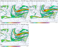
Allan Huffman first Map He is posted it on Twitter.


Sent from my iPhone using Tapatalk


Sent from my iPhone using Tapatalk
- Joined
- Jan 23, 2021
- Messages
- 4,603
- Reaction score
- 15,199
- Location
- Lebanon Township, Durham County NC
Found 5-8 in the Watch notice. 2-4 in their regular day-to-day forecast output
iGRXY
Member
The EURO is a little faster but the HRRR is very similar
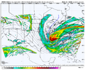
That's just beautifulSnowglobe passageView attachment 191139
- Joined
- Jan 23, 2021
- Messages
- 4,603
- Reaction score
- 15,199
- Location
- Lebanon Township, Durham County NC
there was a subtle shift east with the neutral/neg tilt progression yesterday which caps potential some. models also still figuring out multiple lows... some of them are fujiwara-ing around each other lol. lot of game left. i think eventual low position will take nowcasting and will be decided by atlantic convection. while i still think there is convective feedback issues with models, grit posted a good point that the southern shortwave will spur things.Trying to catch up here from the overnights. Is the coastal LP not bombing as much or at least not off the NC coast? Seems the ULL is the big hitter
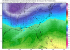
i think synoptically what's spurring it is WAA aloft over the bahamas. totally fine enough lift to spur convection when you have actual real life CAPE at the surface. big question for me though is how much "influence" it has over the entire trough complex. my intuition is that convection closer to the coast takes over faster than modeled, but we'll see. as always, some ticks towards a slower, stronger ull wouldn't hurt
iGRXY
Member
Cary_Snow95
Member
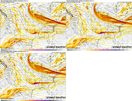
Would prefer all the models load the base of the trough today. Get enough energy into the base and tilt will work itself out imoView attachment 191148Closes off here and the ULL is actually stronger than the EURO. The EURO is better tilted.
But look at that at a 500mb height level. That solution doesn’t seem unlikely with relatively weak forcings and an open wave.
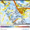
This storm this weekend is a monster at the upper-levels. This is a closed low with deep cyclogenesis. I can perhaps buy the dry slot like December 2010 where some regions have a dip in the transfer between the ULL and coastal. But this still doesn’t sit right with me having such an anemic coastal.
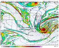
I would not be surprised at all if frontogenesis forcing increases with time, and we end up seeing more QPF especially as we get within 48 hours
Tsappfrog20
Member
Allan Huffman
Sent from my iPhone using Tapatalk
Sent from my iPhone using Tapatalk
- Joined
- Jan 23, 2021
- Messages
- 4,603
- Reaction score
- 15,199
- Location
- Lebanon Township, Durham County NC
Greatest snow depth at anytime - 12" February 2004
January 31st daily snowfall record - 0.8"
Minimum high temperature - 27º
Heaviest calendar day snowfall - 14.2" February 1902
At least two of those records fall at Charlotte-Douglas. Maybe all four.
January 31st daily snowfall record - 0.8"
Minimum high temperature - 27º
Heaviest calendar day snowfall - 14.2" February 1902
At least two of those records fall at Charlotte-Douglas. Maybe all four.
Iceagewhereartthou
Member
Yes, beautiful for the upstate. Need to see the short term models show this going forward; been looking for this placement of the ULL.Holy smokes... that'll wake you up in the morning!!! Best run of the whole storm for the Upstate and NE Georgia!
That’s something that’s definitely bothering me with the modeled depiction. As of now Its a fine storm but when you look at h5 after you’ve seen a lot of these things (and I know you have with your animations) you can’t help but think… that’s it?But look at that at a 500mb height level. That solution doesn’t seem unlikely with relatively weak forcings and an open wave.
View attachment 191143
This storm this weekend is a monster at the upper-levels. This is a closed low with deep cyclogenesis. I can perhaps buy the dry slot like December 2010 where some regions have a dip in the transfer between the ULL and coastal. But this still doesn’t sit right with me having such an anemic coastal.
View attachment 191149
I would not be surprised at all if frontogenesis forcing increases with time, and we end up seeing more QPF especially as we get within 48 hours
iGRXY
Member
BHS1975
Member
HRRR is very bandy.
Edward Nygma
Member
I already posted on this, but the Gulf Stream is anomalously warm right now. How we don't see abundant convection and a low form along that is beyond me. Of course, I don't have a met tag or anything.History says this baby is gonna bomb over the Gulf stream, and looking at where the warmest waters is, I would likely bet near Hatteras.
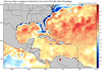
That's a sweet temperature gradient.
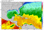
HRRR is very bandy.
Just a question honestly, by no means a call out. What good is the HRRR at this point when at 18 hours the ULL hasn’t appeared or shown a tilt if any?
The one thing with that is if you look, there are some very low sea surface temperatures right off the coast of SC and southern NC. In fact it’s starting to threaten all time low SSTs in those areas. The temperatures rise quickly once off the continental shelf. I can’t help but wonder if that sets up for a baroclinic zone right close to coast near Myrtle Beach or Cape FearHistory says this baby is gonna bomb over the Gulf stream, and looking at where the warmest waters is, I would likely bet near Hatteras.
I am a little worried about mixing here right at the coast. Just looked at the soundings and they look snowy, but it's very close. Any slight nudge warmer could significantly reduce our totals out here.
packfan98
Moderator
Initial bands on the NAM is going to Virginia


Cary_Snow95
Member
- Joined
- Jan 23, 2021
- Messages
- 4,603
- Reaction score
- 15,199
- Location
- Lebanon Township, Durham County NC
SREF went up IMBY from .48 to almost .8.
Usually a SREF QPF uptick like that portends a raising of NAM QPF. We'll see.
Usually a SREF QPF uptick like that portends a raising of NAM QPF. We'll see.
Base of tpv trof has dug in another 50-75 miles further SW into Missouri on 12z nam verse 6z nam
better tilt as a result
better tilt as a result
Brandon10
Member
This NAM run SHOULD be bigger for everyone
iGRXY
Member
NAM is significantly improved at H5
Cary_Snow95
Member
ForsythSnow
Moderator
Looks to be injecting more moisture through the southern stream strengthening and pulling more into GAThis NAM run SHOULD be bigger for everyone

