-
Hello, please take a minute to check out our awesome content, contributed by the wonderful members of our community. We hope you'll add your own thoughts and opinions by making a free account!
You are using an out of date browser. It may not display this or other websites correctly.
You should upgrade or use an alternative browser.
You should upgrade or use an alternative browser.
Wintry Machine Learning Mauler 1/30-2/1
- Thread starter SD
- Start date
967 due east of Hat on the CMC.. the Carolina Mauler
disassociated_vort
Member
BrickTamland
Member
Cary_Snow95
Member
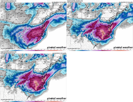
Add the CMC to the consensus of a more coastal concentration in the 12z suite. This morning all the models were developing the low just offshore but there was no reflected impact on inland precipitation. The foot prints of precip really focused on the ULL. Now you can see them all latching on to significant coastal development with precip blossoming inland.
Sctvman
Member
Flurries to JAX and just N of TPA
ForsythSnow
Moderator
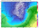
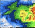
I'm not buying the GFS as much as the others primarily due to every other model not dry slotting GA and backfilling. Might have to do with tilt but almost everything at least gets snow into GACan see the suppression diff on CMC/GFS...but other than very close.
Big diff for SC/GA though
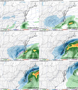
View attachment 190639
broken025
Member
Pilotwx
Member
Trend out west is dryer , and seeing on the 12z GFS where it could dry up even more , look along the foothills escarpment Cleveland county to Surry County
iGRXY
Member
UK will be a lot better
LukeBarrette
im north of 90% of people on here so yeah
Meteorology Student
Member
2024 Supporter
2017-2023 Supporter
BrickTamland
Member
GeorgiaGirl
Member
I'm not buying the GFS as much as the others primarily due to every other model not dry slotting GA and backfilling. Might have to do with tilt but almost everything at least gets snow into GA
GEFS seems like it's doing a better job at indicating this, would post but I'm posting here on my phone.
Could, but you have to factor in sublimation in as well if that plays out.Anything on the west and southwest side will be from mostly bands. So in effect, you may get 1-2" worth of snow and only see a dusting several times because it disappears in the lulls.
It will be pretty though.
Yep. Have seen this movie many times with the high ratio stuff from deep upper troughs, clippers, etc. Go to bed with white ground and covered streets only to wake up with brown ground and bare pavement lol. Dry windy air is the ultimate sponge.
UNCSC
Member
GEFS really beefed up the ULL with snow all the back through central TN on a lot of the members
CMC is a dub for everybody.
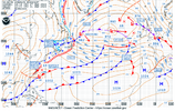
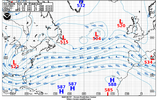
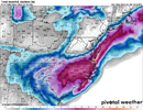
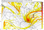
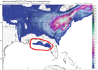
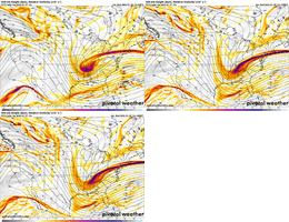
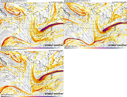
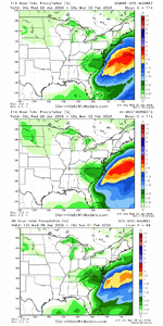
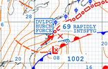
new to the forum: idk if y'all look at the Ocean Prediction Center (OPC) maps here is the surface (actual human) and 500mb (gfs) forecast valid 1\31 12z. i always find them interesting. what are the 2m winds looking like on the model output so far?View attachment 190631View attachment 190632
Viewers are advised to zoom in on the small print messages
disassociated_vort
Member
not totally. i'm losing my daylight snow which have earmarked in my calendar to drink to. need some more scooches north so the much maligned greater richmond area can finally cash inCMC is a dub for everybody.
Makeitsnow
Member
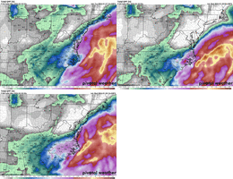
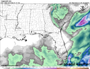
Just using my back yard as a measuring stick. the gfs is a true outlier. every model has me getting more than the gfs...in many cases quite a bit. gfs is just way north with the mid level features which i'm assuming is one of the reasons it's off. canadian, rgem, euro, the ai's, all have the 700 to 925mb lows about 100 miles south of the gfs. at any rate, One more tick west with the canadian and even the heavy precip associated with the coastal development inches it's way into east ga. it's crazy to think the canadian/gfs is so much different than the uk at this range. but i love the 0.83 precip max over banks county.I'm not buying the GFS as much as the others primarily due to every other model not dry slotting GA and backfilling. Might have to do with tilt but almost everything at least gets snow into GA
Raleighwxauthority
Member
- Joined
- Jan 23, 2021
- Messages
- 4,596
- Reaction score
- 15,184
- Location
- Lebanon Township, Durham County NC
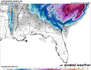
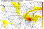
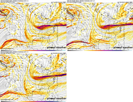
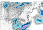
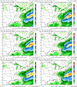
they have some pings on the GEFS meteogramsView attachment 190645
Flurries and gulf affect snow almost into Tampa would be insane
- Joined
- Jan 23, 2021
- Messages
- 4,596
- Reaction score
- 15,184
- Location
- Lebanon Township, Durham County NC
I’ve been wondering for the last couple days if we might see that show up with how for south those 840s were divingView attachment 190645
Flurries and gulf affect snow almost into Tampa would be insane
Webberweather53
Meteorologist
Yeah and those probs are based on 10:1 SLRs, which this event will certainly not have. So probably conservative probabilities
- Joined
- Jan 23, 2021
- Messages
- 4,596
- Reaction score
- 15,184
- Location
- Lebanon Township, Durham County NC
With the sum of all these things, this event is absolutely primed to overachieve.
Something I would really point out to the folks west of the 77 corridor in the Carolinas and even back over northern GA… globals will often have a lot of difficulty picking up on the extent of precip with an ULL and we will often see that start to blossom when the CAMs start coming into view. That’s basically what happened in January 2003 when we saw the globals spitting out barely an inch or so over the western Carolinas and then short range models at the time really started picking up a lot more with 24 hours.
Webberweather53
Meteorologist
Bigedd09
Member
AI GEFS looks like it may be coming in a little less amped compared to 6z at hour 60

