Forevertothee
Member
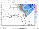
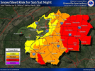
Could you give your thoughts for SC like you do here for NC? Upstate through Midlands to Lowcountry.Imho, given the presence of the upper low here as well as a upstate SC mesolow, (which is a climatological feature we tend to see in a lot of snow events), the floor for this storm is probably higher in places like Charlotte and Greensboro back into the Western Piedmont of NC. There’s more pathways you can get a least a sizable/moderate event out there
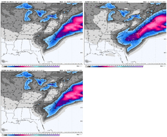
For the eastern Piedmont including places like RDU and the Triangle area, the floor for this storm looks lower, but the ceiling is also incredibly high at this point.
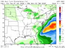
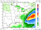
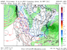
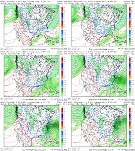
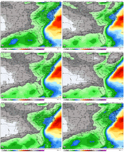
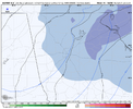
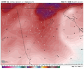
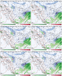
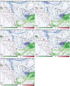
If you’re in the Triangle area, you will want to root for the coastal low to take over and really amp up more quickly so it can throw more precip to the N & W. Continued trends in the upper trough like we have seen the last day or two will certainly help in that department. However, I could certainly see a scenario like I mentioned earlier today playing out where this upper low to coastal transfer goes astray. This scenario would leave folks near/west of I-85/77 with heavier snow from the upper low and folks near/east of I-95 in the heavy snow from the coastal, while you end up in a relative “dry slot” of sorts, though of course you could still get some good snow in that case!
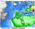
I want to see how things play out the next few days, but the 18z models certainly seem to be subtly suggesting this scenario is a greater possibility


