-
Hello, please take a minute to check out our awesome content, contributed by the wonderful members of our community. We hope you'll add your own thoughts and opinions by making a free account!
You are using an out of date browser. It may not display this or other websites correctly.
You should upgrade or use an alternative browser.
You should upgrade or use an alternative browser.
Wintry Machine Learning Mauler 1/30-2/1
- Thread starter SD
- Start date
LukeBarrette
im north of 90% of people on here so yeah
Meteorology Student
Member
2024 Supporter
2017-2023 Supporter
EPS doesn’t agree at 12z then we got problems
How do you remember this off the top of your head! But yeah, just looked you are right....some similarities.A little Jan 2018'esque.
BrickTamland
Member
Stormsfury
Member
Easy to remember when you only get a handful of winter storms down here lol.How do you remember this off the top of your head! But yeah, just looked you are right....some similarities.
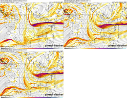
What I didnt like on the 500mb is the cutoff seems to occur a little north and east of 00z.
wow
Member
Again.. a general agreement. Going to come down to the fine details whether this is a 4" or 40" snow. 
I'm 110% sure the GFS will back off. Always does.
I'm 110% sure the GFS will back off. Always does.
How many hours are we away from a possible onset in eastern NC? Trying to get an idea with maps.
Just inside day 4
iGRXY
Member
Still think that NW side is going to be more explosive precip wise from the ULL. But right now 4-6" looks likely from highway 25 east and 6-8" from the broad river east towards CLT metro at a minimum. Will wait to see the EPS/EURO before I put money on it
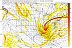
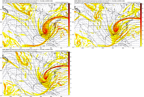
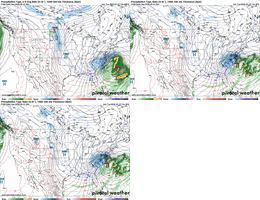
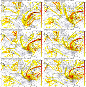
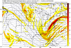
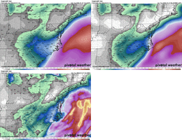
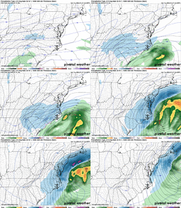
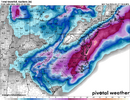
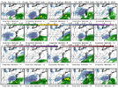
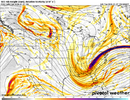
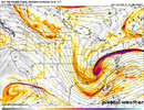
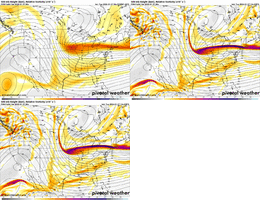
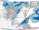
Ukie also more GFS/CMC/AIFS-like:AIFS was much closer to a GFS/CMC solution at 06z than a ECMWF solution. Here's all four:
View attachment 190016
View attachment 190017
View attachment 190018
View attachment 190019
I do think the Euro is being too stingy at this stage, but let's see some recovery before declaring it out to lunch.
Cary_Snow95
Member
H5 pass on the CMC is fairly steady the past 3 runs. Noise if anything
Key will be where do the euro AI and EPS go. If they stop or even slightly reverse course I'll be good with the 12z run. If they keep tracking east and more ensembles begin to support that well....Again.. a general agreement. Going to come down to the fine details whether this is a 4" or 40" snow.
I'm 110% sure the GFS will back off. Always does.
BrickTamland
Member
In my experience, it's a LOT harder to get a southwest trend than a northwest trend. So the base of the trough digging south and west, going neutral and negative earlier seems less likely than it trending weaker and farther north. That's just based on what I have observed in the modeling as we move in. We get the west west west stronger stronger stronger trend, and we ultimately end up a little north and weaker. Seems like that is the most common end to this. Hopefully that's not the case this time.
It would be really a shame to waste this potential. 3" is still snow and good and all, but I really do hope someone gets the upper end of what this could be if we don't waste another one of these out to sea.
It would be really a shame to waste this potential. 3" is still snow and good and all, but I really do hope someone gets the upper end of what this could be if we don't waste another one of these out to sea.
bncho
Member
I think the GFS is the best model with the northern stream in the mid-range, it might be hopium but it might be genuinely onto something.
iwantsouthernsnow123
Member
- Joined
- Jan 23, 2021
- Messages
- 4,596
- Reaction score
- 15,184
- Location
- Lebanon Township, Durham County NC
You guys are going to be sick of me saying this by go time but this is not our normal scenario. You may only need half an inch of QPF to get in double digits.
iwantsouthernsnow123
Member
Yeah, I've been looking into potential ratios with this, this is strongly dependent on how moist we can get the DGZ zone, however I don't think 20:1 ratios can be ruled out in some areas.You guys are going to be sick of me saying this by go time but this is not our normal scenario. You may only need half an inch of QPF to get in double digits.
lexxnchloe
Member
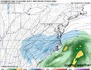
ICON CMC GFS blend would be awesome.Canadian still a big hit but just not as crazy as the GFS.
View attachment 190022
View attachment 190023
Bigedd09
Member
Ukie is a no go
new ukie doesn't look that great unfortunately
Agree, the insanely cold temps and cold ground temps leading in allow us to truly maximize our qpf more than any potential (all snow) storm I can remember recentlyYou guys are going to be sick of me saying this by go time but this is not our normal scenario. You may only need half an inch of QPF to get in double digits.
Cary_Snow95
Member
That continues to be the likely miss. Late, flat, and OTS. That is a much larger and valid concern compared to it coming NW
The position of the low is what makes Miller A snow dreams come true in the Carolinas. It's good to see another outrageous snow total map at the end, even if it is the GFS. Let's get this system back to the west and the maps we were seeing overnight with the rest of the models.
BrickTamland
Member
I agree and like I said yesterday, I am usually very suspect of higher ratios snows east of the mountains. However this has all the makings to be just that. Main energy is N/S based. 850s are very low basically the whole week and only drop as the storm wraps up.You guys are going to be sick of me saying this by go time but this is not our normal scenario. You may only need half an inch of QPF to get in double digits.
Euro will be a super adult here & wiff but hopefully it at least stays the same or ticks back West.
LovingGulfLows
Member
- Joined
- Jan 5, 2017
- Messages
- 1,499
- Reaction score
- 4,100
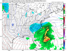
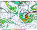
UK is a complete miss to the east. Just a little bit of difference with the GFS and Canadian.
View attachment 190030
Even on the worst model runs, that little East GA snowband pops up. It's so consistent.
Yeah just as I said it the UKMET looks like the Euro at 12z
LittleMountain
Member
Recognizing there’s a lot that feeds into our models and lots of little things that have downstream implications. But isn’t it wild that we have such divergence in models that one shows 30” of snow and the other none less than 4 days out?

