• Hello, please take a minute to check out our awesome content, contributed by the wonderful members of our community. We hope you'll add your own thoughts and opinions by making a free account!

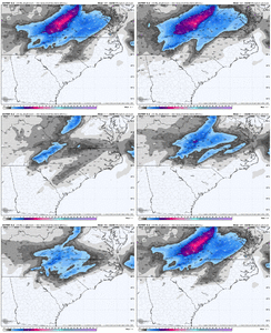
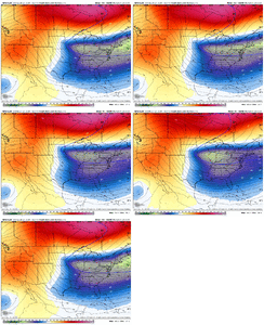
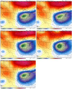
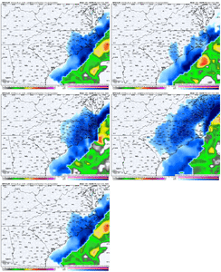
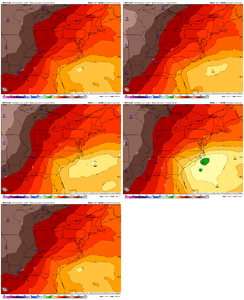
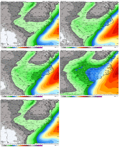
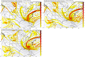
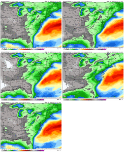
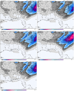
Wintry Machine Learning Mauler 1/30-2/1

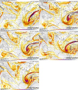
Euro kinda making the same move as the AI but it still looks fine to me, just need to not keep that eastward advancement of the vort going like it’s done the last 2

Memory serves me right, it kinda went a bit being the furthest SE on of our systems esrlier this season, only to slingshot back NW by a good bit. Not overly concerned ... yet.
 
That's what it's looking like...
I think you're saying it's not looking like an ice storm. You're getting negative responses like you're saying it actually looks like it's maybe so.
That would be a fantastic clarification to make. Thanks for your great input to discussions here.
 
I think you're saying it's not looking like an ice storm. You're getting negative responses like you're saying it actually looks like it's maybe so.
That would be a fantastic clarification to make. Thanks for your great input to discussions here.
I was referring to the long range threat on the ECMWF which I posted about in the February thread.

1769495709447.png
 
Pretty large decrease on the EPS for most. Hopefully it’s not the start of our classic rug pull we see a couple days before go time

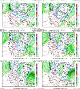
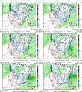
The ICON was strung out which looked awful on the 00z, the EURO was closed off but the furthest north and east with the apex of it east of Charlotte. The GFS was about 75 miles WSW of that and a little better. The Ukmet (which is usually a model you want to see the phasing with) jumped on board and has the closed low over NE GA and the CMC was really closed off South of Atlanta. (We'll see if WeatherNext 2.0 holds on).

Obviously we don't exactly know, but it's interesting how this plays out. Clearly we don't want any more northern stream wave splitting. The ICON did that, actually looked like a 3 wave split (50/50), some kink that was in between the tail end vort, which served to slow and make the pivot too late.

The EURO was further northeast than the rest of the physics models and developed just a little late. GFS has been trending better. Ukmet joins the party with a decent thump and the CMC was just pure weather corn.
 
NWS Columbia

Physics based and AI guidance has trended towards a favorable setup
for potential snowfall this weekend. Its done this fairly quickly
over the last 4-6 model runs, showing a northern stream shortwave
diving out of the Hudson Bay & phasing with a southern stream
shortwave & rapidly amplifying over the TN Valley to our west. The
Canadian & ECMWF suite of guidance (both physics-based and AI) were
the first to trend in this direction & this has continued overnight.
The GFS has trended towards this with the 00z run tonight,
increasing the confidence in the possibility of snowfall this weekend
across the forecast area. The forecast is slightly simpler than it
was last weekend as thermal profiles look like they`ll favor snow as
the predominant p-type, though this could always change as we get
closer to the event itself. The airmass associated with this is
forecast to be straight up gelid, so overall snow would be favored.
While confidence is increasing overall, this is a complex setup that
will (as always) require several things to fall into place just
right in order for us to see snowfall across the area. A slight
difference in the placement of each individual part would yield a
significant difference in our expected outcomes. AIFS and AIGFS
guidance is very similar to one another on the 00z, with the AIFS
showing a very consistent synoptic scale pattern run-to-run over the
past 24h. I`d probably favor this guidance right now as it has been
verifying well lately when compared to the physics-based guidance.
It`ll be interesting to see how this event pans out. It is uncommon
to have a signal for widespread precip like this that also overlaps
with an atmospheric profile cold enough to support all snow. Stay
tuned!
 
NWS GSP
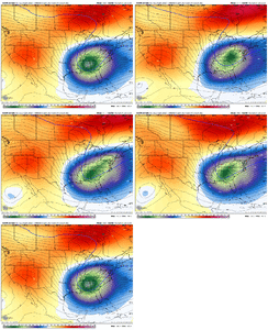
The global models continue to converge toward a consensus
regarding the pattern over the East late in the week, as a strong
and intensifying speed max is forecast to dig from the Great
Plains on Friday to the Gulf Coast on Saturday, sharpening the
long wave trough over the East and carving out a deep upper low
over the Southeast. The air mass will already be anomalously
cold before this evolution, and this pattern will bring even
colder conditions...with daily record low max and min temps being
in jeopardy for at least Saturday. Just as notably, the strong
height falls will almost certainly initiate cyclogenesis near the
Southeast Coast over the weekend, with the only question being the
usual timing/intensity/location questions that one should expect
5 days out. The 00Z GFS and Canadian models have trended toward a
cyclone a little closer to the coast, increasing the potential for
frontogenetically-induced precipitation across our forecast area Fri
night/Saturday. With cold air already in place...and considering
how far south it appears the upper system is going to dig...this
would almost certainly be a rare all-snow event for our area, and
the potential exists for significant snowfall for at least a part
of the CWA. Having said that, confidence remains low...certainly
the latest ensemble guidance offers little clarity...and we expect
a couple of more days of the model "game on/game off" back and
forth that is typical of extended period coastal lows.
 
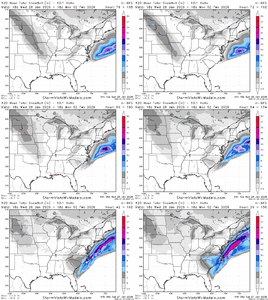
EPS & Euro AI ens

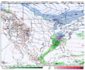
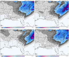
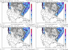
We've went back East. Wouldn't say that's a bad thing though. Sets things up to trend it right back to us 48 hours or so out. But then again we could always lose this for us inland folks. Seems like many along sections of the coast are closing in to almost a lock to get something though. I'd like to see this come back the other direction today some though. ecmwf-ensemble-avg-se-total_snow_10to1-1769472000-1769990400-1769990400-20.gifecmwf-aifs-ensemble-avg-se-total_snow_10to1-1769472000-1769990400-1769990400-20.gif
 
View attachment 189866Absolutely monster run. It looks exactly like the CMC.

7ad3fefacbfa7c20a139b3a0d523beb2.png

994mb SE of Lookout at hr 114


Sent from my iPhone using Tapatalk
 
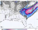
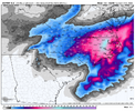
View attachment 189869
View attachment 189870
We’re getting snow back way west as the coastal takes over. One more big move like this or just realizing a more expensive precip shield on the Nw side and the western carolinas will be getting hit from the ULL itself and the coastal.

Surface low strengthened to 965mb further offshore!!


Sent from my iPhone using Tapatalk
 
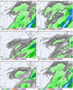
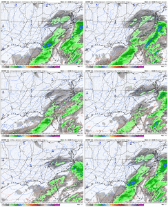
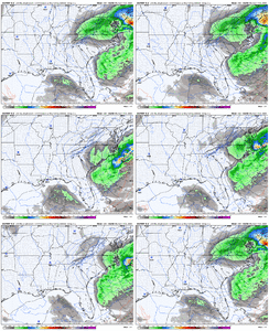
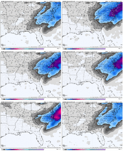
Pretty annoying that there’s a county wide precip minima on almost every model over my county(Pickens). Ukmet, gfs, euro, euro ai, cmc, all show it.

It appears to be in relation to subsidence next to the death band that develops along the surface convergence zone that sets up across northeast Georgia.

On the bright side, somebody over there is gonna get get dumped up from a stationary band on Saturday.
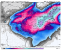
IMG_0715.jpeg
 
Back
Top