iGRXY
Member
You do know that run was not finished for eastern sections? Only goes out to 144Yeah not liking trends east of I95...to close and too much warm air.
The Ecmwf AI ran the entire storm?You do know that run was not finished for eastern sections? Only goes out to 144
06z and 18z Euro only runs to 144 hours. It is different than its AI counterpartThe Ecmwf AI ran the entire storm?
I wouldnt trust all that precip after the low.You do know that run was not finished for eastern sections? Only goes out to 144
Weathernext2 has it offshore significantly and was trending away not closer. Perhaps even a bit too offshore.Yeah not liking trends east of I95...to close and too much warm air.
Obviously at this range it is best to rely on the ensembles, even if the operational sometimes can produce some trends or show us some synoptics.Weathernext2 has it offshore significantly and was trending away not closer. Perhaps even a bit too offshore.
Comes out at 2a/p and 8a/p. Will have to wait for one of our posters with access to post itLoved waking up to so many posts. But I did not see the weather next model from overnight. Anyone have it?
Sent from my iPhone using Tapatalk
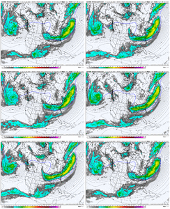
This was the four-run trend for the 00z Weathernext2. Given the bouncing around I wouldn’t say it’s locked in yet. Once it locks in we’ll start seeing only marginal run-to-run changes and that’s when this model is truly impressive.Comes out at 2a/p and 8a/p. Will have to wait for one of our posters with access to post it
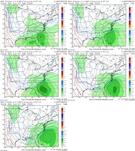
This gif doesn’t inspire me I have to sayThis was the four-run trend for the 00z Weathernext2. Given the bouncing around I wouldn’t say it’s locked in yet. Once it locks in we’ll start seeing only marginal run-to-run changes and that’s when this model is truly impressive.View attachment 189409
This was the four-run trend for the 00z Weathernext2. Given the bouncing around I wouldn’t say it’s locked in yet. Once it locks in we’ll start seeing only marginal run-to-run changes and that’s when this model is truly impressive.View attachment 189409
Seems it was this time last week (Monday into Tuesday) that we saw the massive shifts with the previous storm. Very curious to see what the path looks like this time tomorrow.Get this to close of just 50-70 miles further south and west and everyone from Georgia to the coast is getting mauled
We can get a 4-6 inch powder snow from the Lee-side enhancement when the trough passes over us, even if the main surface low trends way out to sea. In some ways that solution could even be better for us in terms of not getting missed to the east.This gif doesn’t inspire me I have to say
Correct, Tuesday 18Z EURO was the first to jump way NWSeems it was this time last week (Monday into Tuesday) that we saw the massive shifts with the previous storm. Very curious to see what the path looks like this time tomorrow.
And we really aren't that far off from this being in the short range either.It’s wild have we actually made this one day CLOSER to us. We use to kick the can a lot, but this went from moreso a Sunday thing to a Saturday thing fast.
You sound like you are ready to be banned from another storm thread...I’m ready to be nammed
Sent from my iPhone using Tapatalk
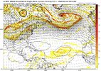
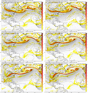
The 850 is in such a favorable position for a hammerhead snow thump as the low pivots by Hatteras. Shades of that Turn of the Century event we’re never supposed to cite.geez...past 4 runs of the Google at 0z Sunday and the surface plot for 6z
View attachment 189421View attachment 189422
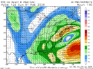
Just looking at that. About 150 mile jump to the north.. Now it was trying to shoot precip into Georgia/Alabama that way.6z ICON took a step in the right direction. Energy shifted west. Here’s where it ended up.
View attachment 189385View attachment 189386
I think the trend here to watch is not so much how far NW everything shifts but how far south this upper level low develops and starts to bomb. Would involve a lot more on this board with a memorable event if it starts a little more south.The 850 is in such a favorable position for a hammerhead snow thump as the low pivots by Hatteras. Shades of that Turn of the Century event we’re never supposed to cite.
View attachment 189424
