iGRXY
Member
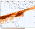
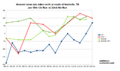
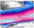
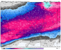
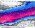
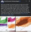
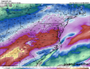
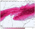
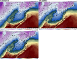
Canadian FRAM was 0.5-0.75” of ZR. The RDPS was up to 3” of sleet and anywhere from 0.3”-0.75” of FRAM ZR and we were only at 7AM at the end of it a run. I hate to speak in absolutes like this but the writing is all but on the wall for the Piedmont, upstate, and NE Georgia. We might be able to squeak out some initial front end snow, but it’s going to quickly switch to sleet and then ZR. I’m expecting probably 8-12 hours of sleet and easily 24 hours of ZR. I’ll make my first call map tomorrow on totals but my preliminary estimates as of tonight would be 2-5” of sleet and 0.5-1.25” of ZR with the highest of those totals along and north of 85

