-
Hello, please take a minute to check out our awesome content, contributed by the wonderful members of our community. We hope you'll add your own thoughts and opinions by making a free account!
You are using an out of date browser. It may not display this or other websites correctly.
You should upgrade or use an alternative browser.
You should upgrade or use an alternative browser.
Jan. 17-18, 2026 SE Winter Weather Threat
- Thread starter RBR71
- Start date
CNCsnwfan1210
Member
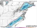
Yep. Heck of a run for large are. Now to check out the 3k
View attachment 184816
Much better run!
Sent from my iPhone using Tapatalk
iwantsouthernsnow123
Member
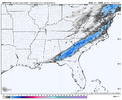
12z FV3 though, 00z will probably not be that bullish.Sheesh... Aside from obvious dry air issues with the HRW-FV3, there is a 4-5 hour period of snow in ATL. Man how I wish there wasn't such a dry column during this time period
View attachment 184813
packfan98
Moderator
Yeah I got some ocean front property for sale in KansasSomebody wake Mitch up!
View attachment 184812
Earlier today, I said to watch for precipitation breaking out along the Louisiana Coast this evening and spreading into SE Louisiana as an indicator for improved chances of a further NW extent and increase of precipitation rates further NW into Georgia late tonight into the morning in Georgia. Let's just say, so for, so good.
Guess I'll have to put on a pot of coffee now.
Guess I'll have to put on a pot of coffee now.
HailCore
Member
All I know about this model is that it can kind of show the entire composite reflectivity shield, or at least the majority of it as snow reaching the surface when the air is still way too dry. It brought precip north of ATL last year which ended up not making it to the surface, but it wasn't too far off if I remember right.Say what? How good or bad is the HRW-FV3? KFFC has absolutely no mention of snow in their forecast north of Henry county. Thus, I haven’t mentioned anything to my ATL sis.
HailCore
Member
That is 00Z and is even more bullish than 12Z12z FV3 though, 00z will probably not be that bullish.
Looks like the trend is for more of a coastal lp takeover. Good news is it Will pull colder air in up top and generate more precip. Pitfall for us is, it will yank things 30 miles futher east and we will miss a 2-3 incher in the grass by the hair of our chin.Here’s the 3k. No NW trend for my backyard, but those in the good precip look to have some fun.
All I know about this model is that it can kind of show the entire composite reflectivity shield, or at least the majority of it as snow reaching the surface when the air is still way too dry. It brought precip north of ATL last year which ended up not making it to the surface, but it wasn't too far off if I remember right.
Is this the only model showing ATL snow? My sis lives near Emory University.
I'm not putting much faith in the totals the latest NAM run is showing but if anything close to this happens, I'll give this model a gold star for being the most consistent throughout the tracking progress. It has been showing accumulating snow for the Northeast Piedmont just about every run when other models were showing next to nothing.
Bigedd09
Member
Anyone have latest Graf?
Sent from my iPhone using Tapatalk
Sent from my iPhone using Tapatalk
packfan98
Moderator
Yep. I still expect a few surprises and hope for the best. Good luck everyone. Bedtime for me.Looks like the trend is for more of a coastal lp takeover. Good news is it Will pull colder air in up top and generate more precip. Pitfall for us is, it will yank things 30 miles futher east and we will miss a 2-3 incher in the grass by the hair of our chin.
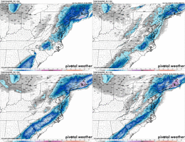
Dude I just did the exact same gif and was coming here to post it, Lol! I don't expect these accumulations of course, but gonna be a pretty massive failure by all short range models if we don't see this end with a changeover to snowMajor cams all showing snow across central NC…but lot of smart folks saying all we see is rain, cold at that.
View attachment 184820
iwantsouthernsnow123
Member
Honestly it was so bullish I quite literally thought it was 12z. Not quite buying into it though, but once again i have 0 clue anymore.That is 00Z and is even more bullish than 12Z
You and me both. I had completely given up on this event 48 hours ago but now I'm not 100% certain that we won't end up with an accumulation even if it is only a dusting. It's a shame to waste most of the precipitation because there is no blocking high in place over the Northeast.I like that final push that’s being shown on the models now. It gives me hope in Wake and Johnston County
ATLCane17
Member
Starting to snow in Highlands,NC
Just went to look if this was the case. And I noticed that the radar flipped to clear air mode.Earlier today, I said to watch for precipitation breaking out along the Louisiana Coast this evening and spreading into SE Louisiana as an indicator for improved chances of a further NW extent and increase of precipitation rates further NW into Georgia late tonight into the morning in Georgia. Let's just say, so for, so good.
Guess I'll have to put on a pot of coffee now.
So it might not be as much as ya think? Someone feel free to confirm that.
Yep…a win for me would be 1-2 hours of wet snow.Dude I just did the exact same gif and was coming here to post it, Lol! I don't expect these accumulations of course, but gonna be a pretty massive failure by all short range models if we don't see this end with a changeover to snow
This going down as one of the toughest forecasts in a loooong time. I am leaning on the less snow side of the equation. Max lollipops of 2" somewhere in the 85 corridor.
HailCore
Member
Could someone who knows more about 700mb Frontogenesis than I do explain what is going on here west of GA and what the implications for the surface precip are?
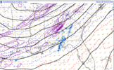

A few of the HRRR runs, particularly the 23Z run looked like it briefly brought light snow to ATL, but it is still questionable because of the dry air. The HRRR has been ticking NW though, and it will be interesting to see where it goes. Almost all the model guidance brings a few hour wave of low composite reflectivities (10-20dbz) back into the ATL area for a brief time period early tomorrow morning, but it is most likely all evaporating on these runs. A few soundings just 20-30 or so miles east of ATL on the HRRR did briefly support some light snow if rates were high enough though (the dry layer was small enough that some precip had the chance of making it down)Is this the only model showing ATL snow? My sis lives near Emory University.
CNCsnwfan1210
Member
Dude I just did the exact same gif and was coming here to post it, Lol! I don't expect these accumulations of course, but gonna be a pretty massive failure by all short range models if we don't see this end with a changeover to snow
The 12z HREF had us changing over to snow tomorrow afternoon. The 00z runs are looking better and consistent. I believe we have a decent shot esp with the degree of possible mesoscale banding within the main precip shield.
Sent from my iPhone using Tapatalk
Are you there? This is one of the rare setups that works for them. I’m curious to see if they get any accumulation overnight with this front band. It looks to be in the low 30s there now.Starting to snow in Highlands,NC
Tsappfrog20
Member
The 12z HREF had us changing over to snow tomorrow afternoon. The 00z runs are looking better and consistent. I believe we have a decent shot esp with the degree of possible mesoscale banding within the main precip shield.
Sent from my iPhone using Tapatalk
JWall said the hrrr has us changing over around 10-11
Sent from my iPhone using Tapatalk
Branch
Member
Dry out west of Alabama so farJust went to look if this was the case. And I noticed that the radar flipped to clear air mode.
So it might not be as much as ya think? Someone feel free to confirm that.
Even if we don't see that sort of accumulations; it'll be cool to see flakes fly for a few hours.Yeah I got some ocean front property for sale in Kansas
I've been monitoring the regional radar from COD. It has been in clear-air mode all day.Just went to look if this was the case. And I noticed that the radar flipped to clear air mode.
So it might not be as much as ya think? Someone feel free to confirm that.
CNCsnwfan1210
Member
JWall said the hrrr has us changing over around 10-11
Sent from my iPhone using Tapatalk
Yes for the Triangle, further east though it will be a little later…it’ll be interesting watching where these mesoscale bands and bright banding set up…gonna be a fun one to watch.
Sent from my iPhone using Tapatalk
I do think that is definitely a good possibilityEven if we don't see that sort of accumulations; it'll be cool to see flakes fly for a few hours.
Add FV3 to the mix, probably one of the reasons HREF is looking better as wellThe 12z HREF had us changing over to snow tomorrow afternoon. The 00z runs are looking better and consistent. I believe we have a decent shot esp with the degree of possible mesoscale banding within the main precip shield.
Sent from my iPhone using Tapatalk
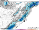
The models are hinting at a heavy band towards the end of this thing so let’s hope!You and me both. I had completely given up on this event 48 hours ago but now I'm not 100% certain that we won't end up with an accumulation even if it is only a dusting. It's a shame to waste most of the precipitation because there is no blocking high in place over the Northeast.
- Joined
- Jan 2, 2017
- Messages
- 1,566
- Reaction score
- 4,279
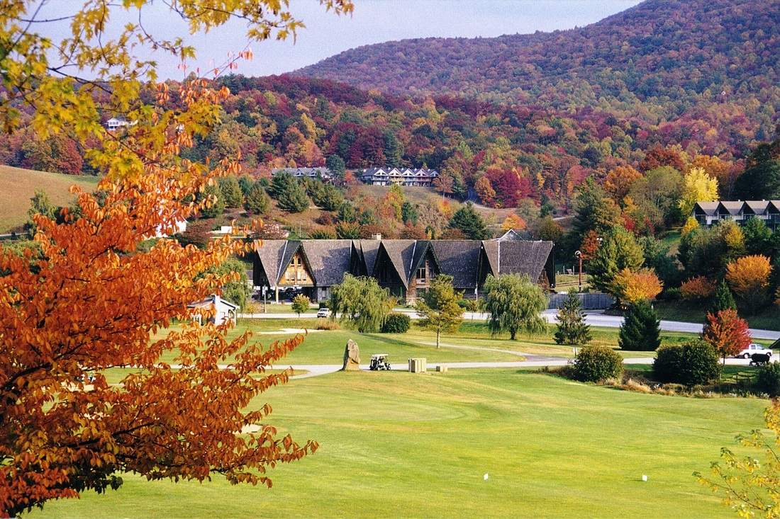
Sky Valley, Georgia - Resort Cams
Located in northern Georgia, this webcam is located at the Sky Valley Country Club golf course and features amazing Smoky Mountain views.
Big Ole flakes in sky valley
Tsappfrog20
Member
Allan just did another map update!!

Sent from my iPhone using Tapatalk

Sent from my iPhone using Tapatalk
That seems fairly aggressive but it is a tough one for sure and changing by the hour. I'm done for the night, hopefully wake up to good reports from down south/west and things trending good for us. Good luck everyoneAllan just did another map update!!

Sent from my iPhone using Tapatalk
Mahomeless
Member
It was never supposed to be wet west of ALDry out west of Alabama so far
- Joined
- Jan 2, 2017
- Messages
- 1,566
- Reaction score
- 4,279
Cashiers!
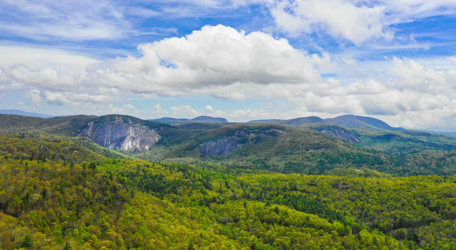

Landmark Vacations Live Webcam | Cashiers, NC
View our webcam in Cashiers, NC from Landmark Vacation Rentals.
www.landmarkvacations.com
Rainforrest
Member
Moderate snow in lake toxaway. Ground whitening up.

