• Hello, please take a minute to check out our awesome content, contributed by the wonderful members of our community. We hope you'll add your own thoughts and opinions by making a free account!

Jan. 17-18, 2026 SE Winter Weather Threat

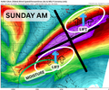
There are PLENTY of ways the Sunday snow potential can fall through from a thermodynamic standpoint.

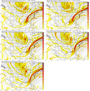
However, dynamically there is reason to assume an over performance in precipitation availability.

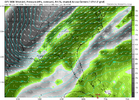
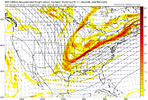
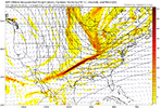
The jet dynamics will likely lead to a strong overlap of rising omega values with flow from the moist and warm Gulf.

This is one reason I am bullish on available precipitation for at least a corridor of the southeast. Obviously though, if it's not cold enough to snow this wont matter.

A setup with plenty to hate, but just enough positives to keep it interesting! MOISTURE (1).png
 
Man what a close call for clt area. Normally nw trends would be starting by now but I just don’t see that happening. Areas further south and east good luck!
43f18d3ff0782bec4560fb755c2964c8.jpg


Sent from my iPhone using Tapatalk
 
Anything east of the foothills in North Carolina is pretty much out of the game as far as snow is concerned I'm afraid unless things change drastically. If the timing were a little different and we had a cold source high pressure north of us then I would be more confident that we would have the winter storm many of us have been hoping for. On to the next event which may be in the January 25-26 period.
 
Asking for dynamic cooling to save you midday when the cold air isn’t here to begin with is a recipe for disaster.
That's why those eye-popping NAM runs were so good yesterday, brought precip in early enough in the day that it could stave off the diurnal swing enough to keep things snowy. The narrow path to any sort of small victory here is
-far enough west to get cold in time (that might be pretty darn far west)
-far enough east to get sufficient precip
-far enough east to avoid downslope drying/virga
 
I still think there’s a decent shot precip will be more extensive than modeled on the NW side. The problem is that I am not sure it’ll be snow and even if it is it’ll be above freezing during the day with potentially mehish rates. Nevertheless, I’ll be tracking this until the end because, why not? And there is some bust potential on the higher side.
 
A touch of blocking would have made a world of difference. The pattern is super fast/progressive. Sw's simply don't have time to go neutral/amplify.

I agree, it was always about tilt for me. A lot of digging, but no tilt makes it like so many others we've seen. Progressive farts in the wind. Kicker right behind it too.
 
To my previous post point on the progression

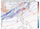
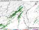
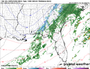
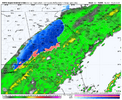
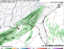
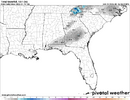
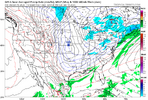
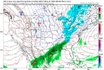
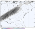
FV3 is a little slower and further West then latest NAM. You have "Rain/Snow" briefly popping up into North Central GA before tapering off and then Sunday morning snow orientation is up thru GA/into Carolina

View attachment 184163
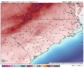
View attachment 184165
This model at least gave me a bit of hope for this morning until I checked the soundings which show most of that over northern GA is not reaching the ground. The FV3 did the same thing last year (1/21) with neglecting to take into account the dry layer of air at the surface and got my hopes up for basically nothing. This event would have a slightly less dry pocket of air aloft for these same areas though, so it would take less moisture to overcome the dry nose.
 
This model at least gave me a bit of hope for this morning until I checked the soundings which show most of that over northern GA is not reaching the ground. The FV3 did the same thing last year (1/21) with neglecting to take into account the dry layer of air at the surface and got my hopes up for basically nothing. This event would have a slightly less dry pocket of air aloft for these same areas though, so it would take less moisture to overcome the dry nose.
Some of us should still still have hope. 12z rfs1000012792.png
 
I would suspect that a narrow corridor still overlaps this enough to get at least a dusting if not a little more.

I agree...I think many of us see some wet snow flakes mix in on Sunday...still nice if it does while watching NFL and hopefully pouring snow in Pats/Texans.
 
This does strike me as a potential situation where you get a narrow band (or several) of 1-3” where banding sets up and rates can crash the column and you get good enough rates to stick. Of course, that’s a crapshoot and you’re more likely to not luck out than luck into being in the right place.
 
Crazy nephew. So close here. Such a tease.
View attachment 184174
With that look if you did see the precip shield expand 50 miles northwest, a lot of places that were going to be bone dry would get a nice light snow event. The areas already seeing the moisture would be experiencing a steady snow despite that showing rain.
 
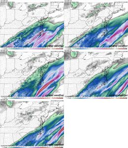
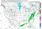
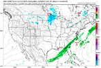
It looks to me like the western and northern sections of the southeast are out of it now unless the trough were to go negative very early. If you look at what was a snowy look for areas west and north of Montgomery, the 500 trough was more strung out. this allowed for surface LP over south Dakota and Nebraska. It helped pull moisture over the Arctic front. Now it appears deeper and more consolidated and not tilting negative. The LP over South Dakota and Kansas has been replaced with HP pushing the moisture away instead of up and over the front. Without a strong gulf LP system riding along the front, or strong blocking from the south east ridge, the only moisture is coming from what the front pushes up as it goes through. Eastern sections are still in the game because of LP forecast to develop of the east coast.
1768576518714.png
1768576480750.png

1768576405303.png
1768576339880.png
 
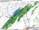
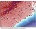
RGEM would be nice...rain/snow mix for many

View attachment 184181
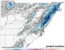
honestly i think this might not end up being too far fetched for the carolinas as far as areas that see flakes in the air. that sorta NE CLT to north of RDU line that shows up there is the best chance to get a D-0.5" in NC imo. for me the uncertainty feels higher in SC. you could get a sort of curve around the midlands as cold can lag moreso there with Fropa. questions also arrive further east/NE in NC
 
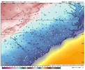
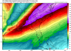
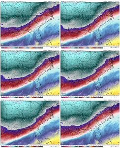
I am surprised the cold air lag isn't being talked about more in here. It's pretty evident with this system. You can see it well below. The cold airmass is able to scoot under the mountains better & catch up with the moisture which is why it keeps showing snow down deep in GA & into the Panhandle. The delay into the Carolinas makes a couple degree difference in areas of the atmosphere, that delay is a timing killer. ecmwf-deterministic-se-t925-1768543200-1768701600-1768726800-40.gif
 
I am surprised the cold air lag isn't being talked about more in here. It's pretty evident with this system. You can see it well below. The cold airmass is able to scoot under the mountains better & catch up with the moisture which is why it keeps showing snow down deep in GA & into the Panhandle. The delay into the Carolinas makes a couple degree difference in areas of the atmosphere, that delay is a timing killer. View attachment 184190
Toccoa warm bubble never loses. It’s why this angle of cold just doesn’t works in the shadow of the alps. Never has and never will
 
Back
Top