NBAcentel
Member


View attachment 182668Much improvement here with moisture on the 12z icon.


That’s what I am talking about!!!
Leaning towards last night's euro/uk solutionYep. Cooking...

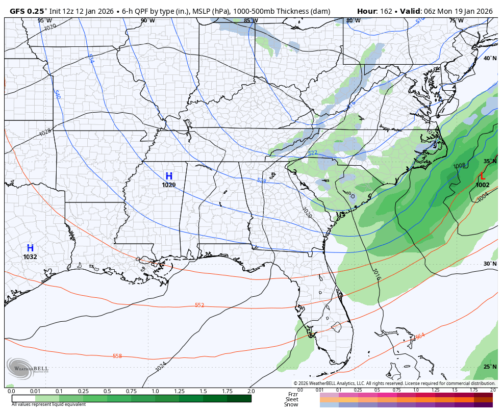
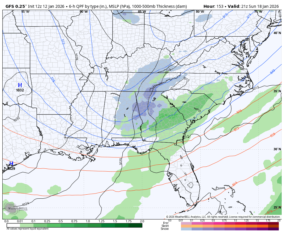
Deja vu with the mid Jan 2018 eventYou can see the fetch. This is really on the verge of a banger. Small tweaks go a long way from here on in View attachment 182679
What caused that storm to blow up?Deja vu with the mid Jan 2018 event
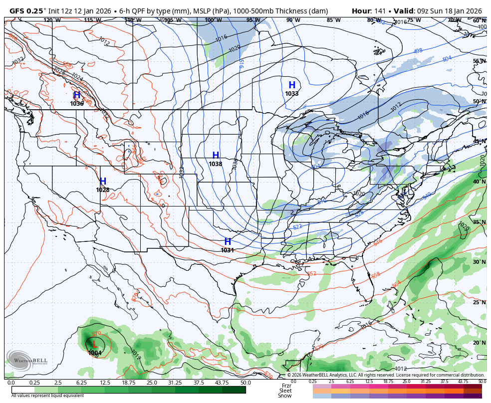
good or bad?GFS trending more separation between waves.

In previous years, this would be a great look for the GFS to correct stronger NW instead of out to sea.


I am trying to learn. Is the blue line the freezeIf this is the trend moving forward (if it continues) we are gonna cook View attachment 182347
yes that is exactly what we want this far out. Northwest shift is gonna get its wayView attachment 182617
Congrats gulf coast but this is a solid look this far out tbh
To much cold is bad. I can’t think of a time we have gotten snow when the temps weren't just at the freezing mark.I mean the cold is right there. View attachment 182676View attachment 182675
Man, I so want this to work. Nothing beats a snowfall that's followed by Arctic cold to keep it around a while.
So, so close to being nothing of note or a big dog for many.

That's what made the 2000 Carolina Crusher so beautiful. Twenty inches of snow with a strong arctic feed to keep it around was something I'll probably never see again. If I remember correctly, most of the meteorologists were thinking that that storm would be a non event or trivial at best for the RDU area.Man, I so want this to work. Nothing beats a snowfall that's followed by Arctic cold to keep it around a while.
So, so close to being nothing of note or a big dog for many.
Yes it did. And it has been rock steady for daysAIGFS says no on Storm #2 and #1.


AIGFS says no on Storm #2 and #1.
it has been doing better than the GFS at h5How good of a model is the AIGFS? I see it followed a lot here and so would like to know. JB recently complained that it jumps around too much for his liking.
What is h5?it has been doing better than the GFS at h5

Ah yes, another model that is absolutely dialed at the momentCanadian has nothing either