• Hello, please take a minute to check out our awesome content, contributed by the wonderful members of our community. We hope you'll add your own thoughts and opinions by making a free account!

Pattern May or May not

Windchill may get into the 30's here Saturday night. Think we stay dry Mothers day till late in the evening, hopefully. Been fantastic spring wx here. especially past few days. Like autumn

Yeah I'm not excited about the upper 80s next week. Its been an amazing few weeks

But no severe weather in sight in mid May??? May be even crazier
 
mcd0743.png

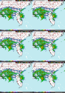
ww0242_radar.gif

SEVERE TSTORM WATCH UNTIL MIDNIGHT!
 
Last edited:
Don’t let u guard down on severe wx. Omegs
Block is lifting out. Getting back in sw flow pattern. Gfs has a wicked trough end next week. Big time severe

Yeah I don't doubt it comes back

I'm just saying

The two worst severe events in Tulsa have been in June anyway. We got a long way to go
 
Some decent corn where the rain was heavy last week but the rest is looking like this over eastern SC and NC. Photo taken today in Marion County SC.
 

Attachments

  • IMG_5415.png
    IMG_5415.png
    4.5 MB · Views: 1
This afternoon was the rainiest and most thunderstormy in quite a long time in this area! Lots of street flooding. The rush hour traffic was a big mess!
 
Back
Top