BN precip AN temps, memorial day weekend cooks
-
Hello, please take a minute to check out our awesome content, contributed by the wonderful members of our community. We hope you'll add your own thoughts and opinions by making a free account!
You are using an out of date browser. It may not display this or other websites correctly.
You should upgrade or use an alternative browser.
You should upgrade or use an alternative browser.
Pattern May or May not
- Thread starter SD
- Start date
Cow farts on the rise?BN precip AN temps, memorial day weekend cooks
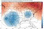
If this trough closes off to our west we will completely erase the past few months of dry weather.
Brent
Member
The rain just won't quit here
Its about time it shifts east if it ever does yeah y'all could erase the drought I mean heck a few weeks ago we had fires so bad there was a state investigation
Its about time it shifts east
GFS blasts it through for a nice weekend. Ens and Euro say not so much.If this trough closes off to our west we will completely erase the past few months of dry weather.
It's been sunny for about 3 straight months I'll take a rainy weekendGFS blasts it through for a nice weekend. Ens and Euro say not so much.
May or May not rain
How’s the Bermuda coming along??It's been sunny for about 3 straight months I'll take a rainy weekend
Drizzly and 66 currently to start off May
Go with not be surprised if doMay or May not rain
JHS
Member
We got a little rain over here today. Hoping for more over the next 2 days.
Got another .8” tonight.
FamouslyHot
Member
Wouldn't be surprised but it seems warm in the of lowest levelsThink there's any chance of flurries in the high country with this cut off? View attachment 172651
Storms firing off here in the upstate this afternoon
Took a half day to plant my garden ahead of tomorrow. It’s been raining and lightning ever since I got home. At least I beat traffic. Some of the lightning was intense and it looked like a hail core to my south.
Wen rain
Got all my tomatoes out this week.Took a half day to plant my garden ahead of tomorrow. It’s been raining and lightning ever since I got home. At least I beat traffic. Some of the lightning was intense and it looked like a hail core to my south.
That ofb going to kill it before jonesville
Got most of mine in a couple weeks ago. Planting tomatoes and eggplant plants tonight, then getting fencing up. Deer ate every last bit of mine last yearTook a half day to plant my garden ahead of tomorrow. It’s been raining and lightning ever since I got home. At least I beat traffic. Some of the lightning was intense and it looked like a hail core to my south.

BaZinga!
Sent from my iPhone using Tapatalk
snowc
Member
Here we go again @GeorgiaGirl SVA for GA
URGENT - IMMEDIATE BROADCAST REQUESTED
Severe Thunderstorm Watch Number 216
NWS Storm Prediction Center Norman OK
535 PM EDT Fri May 2 2025
The NWS Storm Prediction Center has issued a
* Severe Thunderstorm Watch for portions of
Northwest Georgia
* Effective this Friday afternoon and evening from 535 PM until
1100 PM EDT.
* Primary threats include...
Scattered damaging wind gusts to 65 mph possible
Scattered large hail events to 1.5 inches in diameter possible
SUMMARY...Clusters of storms will spread eastward from northern
Alabama into northwest Georgia through late evening with the
potential to produce occasional damaging gusts up to 65 mph and
large hail up to 1.5 inches in diameter.
The severe thunderstorm watch area is approximately along and 35
statute miles east and west of a line from 45 miles north northeast
of Rome GA to 30 miles southeast of Rome GA. For a complete
depiction of the watch see the associated watch outline update
(WOUS64 KWNS WOU6).
PRECAUTIONARY/PREPAREDNESS ACTIONS...
REMEMBER...A Severe Thunderstorm Watch means conditions are
favorable for severe thunderstorms in and close to the watch area.
Persons in these areas should be on the lookout for threatening
weather conditions and listen for later statements and possible
warnings. Severe thunderstorms can and occasionally do produce
tornadoes.
&&
OTHER WATCH INFORMATION...CONTINUE...WW 209...WW 210...WW
211...WW 212...WW 213...WW 214...WW 215...
AVIATION...A few severe thunderstorms with hail surface and aloft to
1.5 inches. Extreme turbulence and surface wind gusts to 55 knots. A
few cumulonimbi with maximum tops to 500. Mean storm motion vector
27025.
...Thompson
snowc
Member
Wulfer
Member
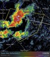
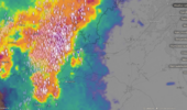
Chattanooga, is getting hammered pretty good. I had .25 inch hail falling a minute ago.
Shaggy
Member
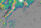
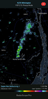
Need rain. Fire ongoing with evacuations near my backyard. Smoke is elevated enough for now but I'm starting to smell it. Even shows up on radar.
View attachment KLTX - Super-Res Reflectivity 1, 7_10 PM.mp4
View attachment KLTX - Super-Res Reflectivity 1, 7_10 PM.mp4
GeorgiaGirl
Member
Hopefully tomorrow evening pans out rain wise. It's just been as dry as a bone lately.
Got around .2" last night. I'll take it. To be honest I was worried I wouldn't get anything with this current setup. But still need a lot more....
.1 overnight, first drop in 3 weeks
Brent
Member
Sunny and highs near 70 all weekend!!!
Oh if we could save this for July and August
Oh if we could save this for July and August
Shaggy
Member
The wilmington area is around 5 inches behind for the year. The fire is contained but still burning and the cars had a bunch of ash on them this morning. Also a cumulus cloud over the fire first thing this morning. Sadly hearing of a few burned buildings but it doesn't sound like they were homes which is good.


BHS1975
Member
How do you put the house icon label?First oh poop bolt of the seasonView attachment 172663
snowc
Member
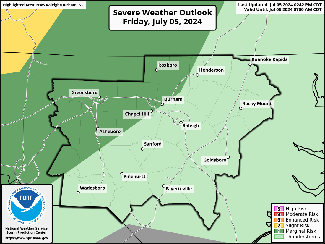


Four words to describe weather in the Carolinas. OUCH.
When you go to locations and add the label, type in home and theHow do you put the house icon label?
Shaggy
Member


