• Hello, please take a minute to check out our awesome content, contributed by the wonderful members of our community. We hope you'll add your own thoughts and opinions by making a free account!

Wintry January 14-16th storm potential.

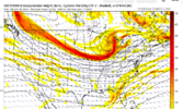
The 18z icon isn't consolidating the first vortex and as a result seems to be pressing the height field down significantly with the 2nd lobe which would be exactly what we need out in front of our potential day 7 storm. Assuming it can turn the corner and generate precip I'd imagine it would be mostly snow for those of us east of the apps. Only question is if there's enough room for amplification behind the 2nd lobe.

Thoughts?Screen Shot 2024-01-09 at 4.31.51 PM.png
 
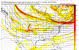
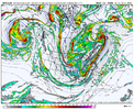
You can see here the 12z GFS just has a consolidated vortex and thus there isn't a secondary cold press. With that look we're most likely screwed east of the apps, (unless the vortex itself trends a lot further south and east.

Screen Shot 2024-01-09 at 4.35.36 PM.png
 
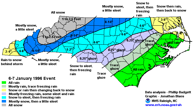
Most notable CIPS analogs

PMSLmembersgfs215F132.png
 
Cold is definitely pressing quicker this run.
 
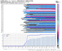
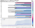
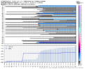
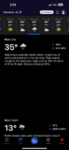
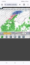
This looks to be nothing but some light snow for most of the midsouth except for ares of I40. one thing that is becoming certain is there is some very cold air on the way
 
Back
Top