• Hello, please take a minute to check out our awesome content, contributed by the wonderful members of our community. We hope you'll add your own thoughts and opinions by making a free account!

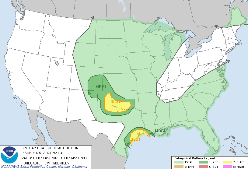
Severe Severe Threat, Friday Nov 30 - Sunday Dec 2

cyclogent

Member
Joined
Jan 5, 2017
Messages
867
Reaction score
2,661
Location
Chattanooga (Ooltewah)
And it begins...

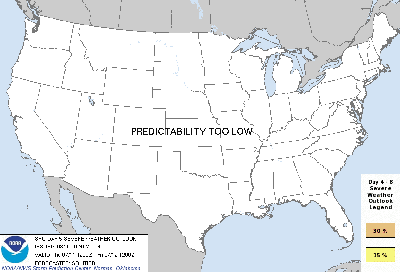
day5prob.gif

On Fri/D5, this wave will move into the southern Plains, with
aforementioned model tendencies holding. It does appear that the GFS
is becoming a bit more amplified with time, which is closer to the
ECMWF guidance. In either case, low pressure is likely to form over
the southern High Plains during the day, with dewpoints into the mid
60s F across most of eastern TX and LA, and perhaps as far north as
central AR Friday night if the more amplified ECMWF solution
verifies. Rapid height falls and a low-level jet increasing to 50 kt
will favor severe thunderstorms mainly Friday evening and overnight
from eastern TX into LA and AR. Strong shear profiles will favor
supercells and/or QLCS structures, depending on upper trough
geometry. The less amplified GFS solution would result in a more
focused area of potential, and perhaps more favorable for
supercells, while the more meridional ECMWF solution would support
more of a linear storm mode. Regardless, the threat level is great
enough to depict a 15% area for Fri/D5 for damaging winds and
tornadoes.

Some manner of severe threat will likely persist into Sat/D6 across
MS, AL, GA and TN, but predictability is too low to depict the
greatest threat area given the likelihood of widespread
precipitation and model differences in how the upper trough will
eject.
 
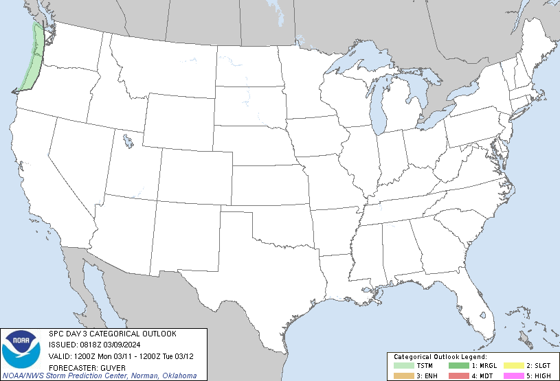
Day 3
day3otlk_0830.gif

...Southern Plains and lower Mississippi Valley region...

Models remain in good agreement regarding a progressive shortwave
trough that is forecast to move through the lower MS and TN Valley
regions Friday night into Early Saturday. Surface low will deepen
over OK with a strengthening southerly low-level jet drawing in
modifying air from the Gulf with dewpoints rising into the low-mid
60s F in warm sector. Widespread clouds and areas of showers should
be in progress along the warm conveyor belt from east TX and OK into
portions of AR, LA and TN, likely limiting MLCAPE to below 800 J/kg
during the day. As the near-surface layer destabilizes and forcing
for ascent increases from the west, a gradual intensification of
thunderstorms may occur from eastern OK and northeast TX during the
afternoon before subsequently spreading eastward into the lower MS
Valley. Winds aloft and vertical shear will strengthen with approach
of the shortwave trough, becoming conditionally supportive of
organized storms including supercells with damaging wind and a few
tornadoes possible. Overall threat may be tempered somewhat by a
marginal thermodynamic environment and only modest boundary layer
destabilization. Models indicate a separate area of storms may
develop near the coast and spread inland in association with a
coastal warm front. Wind profiles in this region will also be
favorable for supercells, but warmer temperatures aloft and weaker
mid-level lapse rates are potential limiting factors.
 
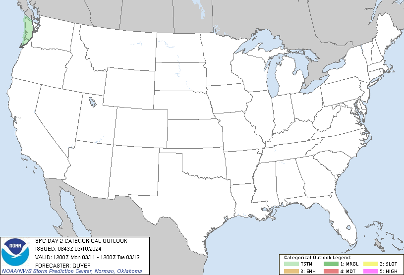
ENH day 2
day2otlk_0700.gif

Day 2 Convective Outlook
NWS Storm Prediction Center Norman OK
0100 AM CST Thu Nov 29 2018

Valid 301200Z - 011200Z

...THERE IS AN ENHANCED RISK OF SEVERE THUNDERSTORMS OVER A PORTION
OF THE ARKLATEX REGION FRIDAY EVENING AND OVERNIGHT...

...SUMMARY...
Severe storms posing a threat for damaging wind, hail and a few
tornadoes are possible Friday afternoon into the overnight from a
portion of the southern Plains into the lower Mississippi Valley
region.

...Synopsis...

Shortwave trough currently approaching the CA coast is forecast to
amplify over the southwest U.S. today (Thursday) before continuing
east and ejecting negatively tilted through the southern Plains and
lower MS Valley Friday evening and night. Surface low should deepen
along the KS/OK border within left exit region of strong (100+ kt)
upper jet before moving into eastern KS overnight. By early evening
the warm front should extend eastward from the low through northern
OK and northern AR, with a cold front extending southward through
central OK into north central and southwest TX.

...Northeast Texas, eastern Oklahoma, Arkansas and extreme northern
Louisiana...

Partially modified Gulf air with low to mid 60s F dewpoints as far
north as the Arklatex region will advect through the pre-frontal
warm sector along a strengthening southerly low level jet. This
destabilization process will be tempered somewhat by widespread
clouds which will limit surface heating, likely resulting in weak
low-level lapse rates and possibly maintenance of a very shallow
near-surface stable layer. Nevertheless, a corridor of up to 1000
J/kg MLCAPE may evolve across the Arklatex region as deeper ascent
and cooler temperatures aloft within the upper jet exit region
overtake the western portion of the moistening warm sector.
Thunderstorms should develop and gradually increase in intensity
from northeast TX into eastern OK within zone of destabilization and
increasing deep ascent. Strengthening wind profiles with 50+ kt
effective bulk shear will promote organized storms including
supercells. While low-level hodographs will be sufficiently large
for low-level mesocyclones and a few tornadoes, tendency will be for
low-level winds to gradually veer within western portion of the warm
sector where the more robust destabilization is expected.
Given the steepening mid-level lapse rates along and north of the
upper jet axis, the thermodynamic environment may also support large
hail within the more robust updrafts. Activity will spread east
through the lower MS Valley region with a continuing severe threat
overnight.

...Southern Louisiana through southern Mississippi...

Southern-stream shortwave trough over northern Mexico is forecast to
weaken as it accelerates through the northern Gulf. Showers and
thunderstorms associated with this system will likely move away from
the western Gulf early in the period and thus may not have a
significant impact on quality of moisture return through LA. A
separate area of showers and thunderstorms should develop across LA
into MS later Friday afternoon into the overnight within zone of
low-level confluence and destabilization resulting from advection of
upper 60s to near 70 F dewpoints inland. Forcing aloft and mid-level
lapse rates will be weak resulting in somewhat marginal normalized
CAPE, serving as a potential limiting factor for a more robust
severe threat. However, wind profiles with large hodographs will
evolve overnight, which along with expected moist, near-surface
layer could support a few supercell storms with low-level
mesocyclones capable of a few tornadoes.

...MAXIMUM RISK BY HAZARD...
Tornado: 10% - Enhanced
Wind: 15% - Slight
Hail: 30% - Enhanced


Day 3..
day3otlk_0830.gif

Day 3 Convective Outlook
NWS Storm Prediction Center Norman OK
0240 AM CST Thu Nov 29 2018

Valid 011200Z - 021200Z

...THERE IS A SLIGHT RISK OF SEVERE THUNDERSTORMS OVER A PORTION OF
THE GULF COAST STATES...

...SUMMARY...
A few severe storms may occur Saturday over a portion of the Gulf
coast states. Other strong to severe storms will also be possible
over a portion of the Ohio Valley.

...Synopsis...

Negative-tilt shortwave trough initially over the Middle MS Valley
will deamplify as it advances northeast toward the Great Lakes. The
accompanying cyclone will occlude and lift north-northeast through
MO and IA with secondary cyclogenesis forecast across the Great
Lakes overnight. Meanwhile a cold front will advance eastward
through the OH Valley and Gulf Coast states.

...Gulf Coast States...

Current indications are that scattered showers and thunderstorms
will be in progress from LA into MS, AL and TN. These storms will be
embedded within very strong vertical shear along southern fringe of
a very strong mid-upper jet with some supercell structures possible.
However, many of the storms may be slightly elevated above a shallow
near-surface stable layer, but some updrafts will be rooted close
enough to the surface to pose an ongoing early severe threat. Richer
low-level moisture with dewpoints in the mid 60s to near 70 F will
advect into a portion of warm sector. As a result, further
destabilization will be possible, especially across southern
portions of the Gulf coast states where storms may gradually
intensify and become better rooted within the surface layer. Wind
profiles will support supercells, but tendency will be for the
low-level winds to veer as the atmosphere destabilizes from the
south and west. Primary threat is expected to be damaging wind as
storms develop eastward during the day, but a few tornadoes will
also be possible.

...Ohio Valley...

An area of widespread rain and thunderstorms within a deformation
zone will move northeastward through the OH Valley early Saturday.
In wake of morning storms, a dry slot will spread through this
region along an intense upper jet axis. Within the dry slot and
along western fringe of the warm sector, a corridor of diabatic
heating may occur as low clouds mix out from IL into western KY.
This process and cold temperatures aloft would support 500-1000 J/kg
MLCAPE and steep lapse rates. Should this scenario evolve, severe
storms may redevelop during the afternoon primarily along the
portion of the cold front north of the upper jet axis, posing a risk
for large hail, damaging wind and a few tornadoes. Will introduce a
marginal risk category this update, but a categorical risk upgrade
might be needed in later outlooks once more confidence is obtained
regarding the evolution of the thermodynamic environment.
 
SPC has added a ton of language to the outlooks . day 1 includes a hatched tornado risk. day 2 has some limiting factors but could be upgraded depending on evolution

day1otlk_1300.gif

Day 1 Convective Outlook
NWS Storm Prediction Center Norman OK
0654 AM CST Fri Nov 30 2018

Valid 301300Z - 011200Z

...THERE IS AN ENHANCED RISK OF SEVERE THUNDERSTORMS CENTERED OVER
THE ARKLATEX REGION...

...THERE IS A SLIGHT RISK OF SEVERE THUNDERSTORMS SURROUNDING THE
ENHANCED RISK AND SEPARATELY OVER THE LOWER MISSISSIPPI DELTA
REGION...

...SUMMARY...
Severe thunderstorms are forecast from parts of the southern Plains
to the lower Mississippi Valley this afternoon into tonight, with a
risk for tornadoes, damaging gusts and occasional hail.

...Synopsis...
The mid/upper-level pattern this period will be dominated by a
southern-stream wave train, featuring a strong shortwave trough now
located over portions of AZ and Sonora. This trough is expected to
move eastward across NM and Chihuahua today, reaching the eastern
border of NM and the TX Big Bend by 00Z. A 500-mb low should
develop in the northern parts of the trough around 00Z, near the
OK/NM border, then follow a curving path across southwestern/central
KS through 12Z. By then, the accompanying trough should assume more
negative tilt across portions of eastern OK and north-central/
northeast TX, with cyclonic flow covering a vast area from northern
MX to the mid/lower Mississippi Valley. A 110-140-kt 250-mb jet
will flow through the trough, extending/expanding from far west TX
to east-central TX and the LA/AR border by the end of the period.

In response to those developments, surface lee troughing now located
over the central/southern High Plains will intensify. A cyclone
should develop through afternoon over the southeastern CO/extreme
northeastern NM area, occluding as it deepens, with warm front
across northern OK and the Ozarks. A "Pacific" cold front will move
out of the southern Rockies today and overtake the dryline from
north to south, southeast of the surface low. By 00Z the combined
boundary should arc from west-central/southwestern OK across
northwest/west-central TX. By 12Z, the boundary should reach
southeastern KS, extreme eastern OK, extreme northeast TX, to the
PSX/CRP areas.

Three distinct convective processes contribute to this outlook, the
first two overlapping spatially.

...Warm-advection conveyor, east TX to southeast OK and AR...
Thunderstorms are expected to develop gradually today into this
evening within a broad area of clouds and precip from east TX across
northern LA and AR into the Mid-South region. The severe threat
should ramp up from mid/late afternoon into tonight and spread
northward across the Arklatex, eastern OK and AR, with some storms
becoming supercells capable of tornadoes, damaging gusts and large
hail. A few strong/EF2+ tornadoes may occur given the favorable
parameter space forecast.

As supportive low-level warm advection and moisture transport
persist, low-level moist-layer quality, depth and theta-e each will
increase, while MLCINH weakens and temperatures aloft cool with the
approaching intense shortwave trough. This will steepen low/middle-
level lapse rates, leading to the development of MLCAPE of 500-1500
J/kg and very low LCLs. With this regime being in the eastern rim
of the warm sector, lapse rates will not be as large as in the
frontal process; however, very favorable low-level shear and
hodographs should develop beneath the strengthening evening LLJ,
with more sustained potential for at least semi-discrete supercells.
Effective SRH 250-400 J/kg should become common, with locally
higher values. The frontal arc will impinge on the western part of
this regime late tonight.

...Cold front/dryline, southern Plains eastward...
As the front overtakes the dryline and the combined boundary thrusts
eastward into favorable low-level moisture late afternoon and
especially this evening, at least a broken arc of convection is
expected to form over parts of central/eastern OK and north to
central TX. Strengthening of both convective-scale/low-level lift
and large-scale forcing aloft will support this development, while
deep-layer winds and shear strengthen. Early-stage convection may
be supercellular, with large hail and a few tornadoes possible.
Geometry of ambient flow, including backing with height in low/
middle levels, suggests mode could get messy where storms do form,
with limited time window for discrete cells. Regardless, this
activity will move into a setting of strengthening low-level shear,
moisture and lapse rates above the boundary layer, supporting a
continued tornado risk into tonight, perhaps from embedded
supercells or QLCS/leading-edge circulations.

...Gulf Coast, late in period...
Widely scattered to scattered thunderstorms should move onshore from
the Gulf overnight, posing an increasing risk for damaging gusts and
a few tornadoes as the supporting inflow layer becomes progressively
more surface-based and unstable. A wedge of marine air will spread
inland across portions of the central Gulf Coast from LA to AL and
perhaps the western FL Panhandle overnight, with dew points rising
through the 60s F, and a deepening moist layer with time. Although
weak midlevel lapse rates are expected to persist, boundary-layer
theta-e in the marine layer should offset that factor enough to
yield MLCAPE rising into the 500-800 J/kg range, with enlarged and
strongly curved low-level hodographs. Strengthening cyclonic flow
aloft and deep shear further will support supercell modes with this
convection, which may represent the northern part of a broad area of
supercell potential extending well southward over the open Gulf by
12Z.


.

day2otlk_0700.gif

Day 2 Convective Outlook
NWS Storm Prediction Center Norman OK
1151 PM CST Thu Nov 29 2018

Valid 011200Z - 021200Z

...THERE IS A SLIGHT RISK OF SEVERE THUNDERSTORMS ACROSS PARTS OF
THE SOUTHEAST...

...SUMMARY...
A few severe storms will be possible on Saturday across parts of the
Southeast. Marginally severe storms could occur northward across the
Tennessee and lower Ohio Valleys into the mid Mississippi Valley.

...Southeast...
An upper-level low and an associated negatively tilted upper-level
trough will move northeastward into the mid Mississippi Valley on
Saturday. A strong surface low will move northeastward into the
lower Missouri Valley as a cold front advances eastward across the
southern Plains. A pre-frontal trough will move across the lower
Mississippi Valley as low-level moisture advects northward into the
central Gulf Coast States. In the central Gulf Coast States, a 50 to
60 kt low-level jet will move northeastward. To the west of this
feature, morning showers and thunderstorms are forecast develop from
south-central Mississippi into south-central Alabama. This combined
with abundant cloud cover, introduces uncertainty into the forecast
concerning instability. In spite of this, forecast soundings around
midday into southern Mississippi and southern Alabama show surface
dewpoints in the mid 60s F with MLCAPE values reaching the 800 to
1200 J/kg range. This combined with strong deep-layer shear of 50 to
60 kt should be sufficient for a severe threat. The type of severe
should depend upon which mode is favored. Wind damage and QLCS-type
tornadoes would be possible with line segments. If a cluster
organizes with discrete modes, then supercells along with a tornado
threat would also be possible.
Negative factors for this event include

1) The upper-level system and the associated large-scale ascent is
too far north
2) Widespread morning convection should hamper destabilization

For these reasons, an upgrade will not be issued for this outlook
and a slight risk will be maintained in the same general area.

...Tennessee and Lower Ohio Valleys/Mid Mississippi Valley...
An upper-level low and an associated negatively-tilted upper-level
trough will move northeastward into the mid Mississippi Valley on
Saturday. The exit region of a 75 to 90 mid-level jet will
overspread the Ohio Valley as a surface low moves into the lower
Missouri Valley. South to southeasterly winds are forecast across
the Ohio and Tennessee Valleys which will help maintain a corridor
of low-level moisture. Although instability will remain weak along
this corridor, large-scale ascent will be strong enough for
thunderstorm development during the late morning and afternoon. Deep
layer-shear of 70 to 80 kt along with the large-scale ascent and
cold air aloft, may be enough for a marginal hail threat during the
afternoon. A few strong wind gusts will also be possible.
 
https://www.spc.noaa.gov/products/md/md1671.html

Boom time in about 2 hours per the SPC.

mcd1671.gif

Mesoscale Discussion 1671
NWS Storm Prediction Center Norman OK
0902 PM CST Fri Nov 30 2018

Areas affected...Far northeast TX...Far southeast OK...Most of AR...

Concerning...Tornado Watch 430...

Valid 010302Z - 010400Z

The severe weather threat for Tornado Watch 430 continues.

SUMMARY...Threat for tornadoes continues across the watch area.
Thunderstorms across eastern OK are expected to reach western
portions of the watch within the next two hours or so.

DISCUSSION...Initial warm advection storms have largely dissipated
outside of the multicellular activity near the warm front and along
the eastern fringe of the warm conveyor. Low to mid-level winds are
expected to increase during the next few hours as a strong shortwave
trough continues to mature. Hodographs will elongate as a result of
these increased winds, signaling a kinematic environment very
supportive of tornadoes. In contrast, the thermodynamic environment
will remain only marginally sufficient for updraft maintenance.
Mid-level lapse rates will steepen slightly but the strongest
forcing for ascent and coolest mid-level temperatures will remain
displaced northwestward. Even so, the ongoing convective lines
across central and eastern OK are expected to move eastward into the
strengthening kinematic environment over the region. Current
expectation is for this activity to reach the western edge of
Tornado Watch 430 within the next 2 hours or so. As such, despite
the ongoing lull in activity across much of the watch area, the
threat for tornadoes persists.

..Mosier.. 12/01/2018

...Please see www.spc.noaa.gov for graphic product...

ATTN...WFO...MEG...JAN...LZK...SHV...TSA...

LAT...LON 32989516 36219418 36209059 32989171 32989516
 
I have to post this, sorry but from Spann's Severe Weather Threat for today in Alabama. Best job I ve ever seen trying to avoid the "blow up" with College Football, if they have to go "wall to wall" during games today...LOL
And, yes, we do have college football on ABC 33/40 today. If by chance we have a tornado warning this afternoon, have the ESPN app on your phone, tablet, and "over the top" box connected to your TV (Roku, Apple TV, Amazon Fire TV, Google Chromecast, etc). You can watch the ABC games there if we have to go "wall to wall" for tornado coverage.

Here are the links to finding the ESPN app:
 
Looks like we may have some pretty strong storms here and east/se tommorow
 
Back
Top