STJ, jet extensions, oof, womp, golf emoji, the pattern will remember, smoked turkey.



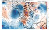
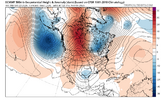

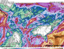
I was surprised to see this today, felt like we were heading in a positive direction with the 12z runs yesterday toward getting more substantial rain chances. It seems like it's only a matter of time with the pac jet getting more consolidated and extended as we get toward Halloween.The latest GFS finally gets some rain in here on two seperate occasions first week of November. To the tune of 3-4 inches statewide.
However the 0z Euro Op still has us in a the Nada Doghnut hole out through Nov 7th. Ugh!!!!
View attachment 199081

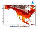
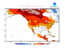
The CFS 10 day for Nov for the E US has warmed 2-3F since 20 days ago:
Latest:
View attachment 199099
20 days ago:
View attachment 199100
No surprise here. I'll believe we're below normal when I see it
Just like the Thanksgiving "snow" I saw last night
It's gonna be a long winter like I said before

100 percent AGREEAgreed, no surprise at all. Early winter should be mild as all indications have been suggesting, including super Nino/+QBO analogs, despite the weaker than avg SPV in the 1st 1/2 of Nov. Our greatest hope remains Feb.

Well then I have NO hope. Feb is failure.Agreed, no surprise at all. Early winter should be mild as all indications have been suggesting, including super Nino/+QBO analogs, despite the weaker than avg SPV in the 1st 1/2 of Nov. Our greatest hope remains Feb.

Exactly. If our best hope is Feb then we’re screwed.Well then I have NO hope. Feb is failure.


The latest GFS finally gets some rain in here on two seperate occasions first week of November. To the tune of 3-4 inches statewide.
However the 0z Euro Op still has us in a the Nada Doghnut hole out through Nov 7th. Ugh!!!!
View attachment 199081

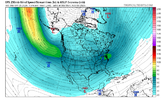
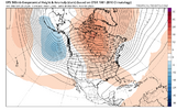
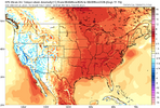
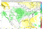
OoofLooks like fall is about to be gone for a while. Barftastic.
View attachment 199119
View attachment 199120
View attachment 199121
View attachment 199122
 ️ womp

The one nice thing about being in the last of October is the surface temps can still be pleasant while being above normal. Just looking at the 6z GFS (...lazy) looks like the pattern you (EPS) shown above will continue into the first of November. So, no Halloween storm?Looks like fall is about to be gone for a while. Barftastic.
View attachment 199119
View attachment 199120
View attachment 199121
View attachment 199122

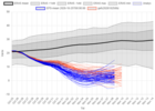
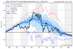
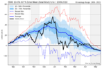
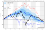
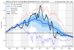

Climate change is real … unfortunatelyWe're really gonna have the warmest year ever here huh somebody told me the other week nobody will be prepared for the anomalies this year and this month is again way above normal
Can't wait for all the posts /s
I mean don't get me wrong it's way better than the summer which lasted until 3 weeks ago but it's still crazy how much above normal we've been consistently. Average high is already in the low 70s and will be in the 60s by next weekend. I don't think we've had a high below 60 yet which is nearly unheard of
And people wonder why I'm not feeling the winter. It's the background state we can't get rid of

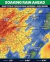
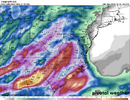
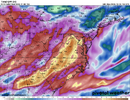
atleast the wet is coming with the heat!Looks like fall is about to be gone for a while. Barftastic.
View attachment 199119
View attachment 199120
View attachment 199121
View attachment 199122

Surprised it's a bit quiet consider that the pattern "Flip" is on deck soon. I prefer warmish and rain now... than 33 and rain. Just my 2 cents. STJ looks to start crankin' (GFS more intriguing which is more of a concern with "how much")
We not gotten November yet lol…. Be whileI honestly think people are just skeptical because it always looks good in fantasy land
At one point we had a crashing front tomorrow for example. It's gonna be even warmer now! 83 on Wednesday! Today was only 77
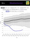
Surprised it's a bit quiet consider that the pattern "Flip" is on deck soon. I prefer warmish and rain now... than 33 and rain. Just my 2 cents. STJ looks to start crankin' (GFS more intriguing which is more of a concern with "how much")