Shaggy
Member
Some spinners offshore may make for some waterspout landfalls in a bit especially eh one down near SC


We are in Santee Cooper and it’s really getting windy on Lake Marion so much for campingSome spinners offshore may make for some waterspout landfalls in a bit especially eh one down near SC

Yea i may be able to actually take a measurement this weekend. Chilly outside today. Hoping the coastal convection you alluded to yesterday stays suppressed..18 so far heading towards the biggest event in months if we aren't careful


Looks like unless we get a storm tomorrow afternoon this one is about done.18 so far heading towards the biggest event in months if we aren't careful

Seems about rightLooks like unless we get a storm tomorrow afternoon this one is about done

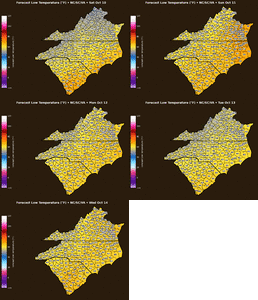
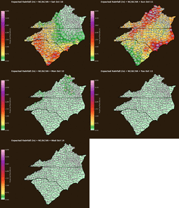
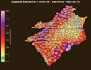
Hey when you get a minute, check your dm
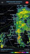


60/53 here - feels good outside, more like fall. Concerned about Asheville and Old Fort/Marion down to lake lure again, looking like a big rain event there.
.02 overnight lol
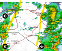
yep does this with every west of the apps system ever since the start of time not sure why the models were so hot on qpf around hereIs this what you warned about yesterday/Friday - line of convenction marching east with heavy rain on the coast?View attachment 198768
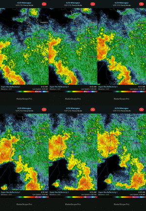
That last cell to pass Monroe was mean - deep deep thunder - shook the house good. Lets see if this holds its teeth together going eastbound.
Even if there is no touch downs it's extremely windy under those mesocyclones.And here we go