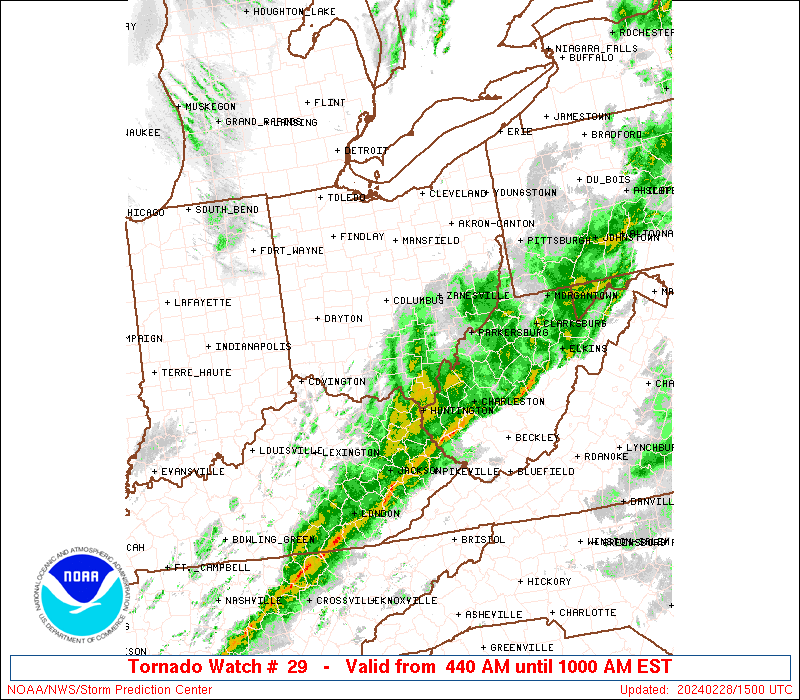
• Hello, please take a minute to check out our awesome content, contributed by the wonderful members of our community. We hope you'll add your own thoughts and opinions by making a free account!

Severe March 13-15 Central Upper South Severe Threat

Well it was "real" on Brad's stream for a moment. There was power flashes and what looked like a rain wrapped tornado that had them say "there's the tornado". All during some nasty rain.
 
Well it was "real" on Brad's stream for a moment. There was power flashes and what looked like a rain wrapped tornado that had them say "there's the tornado". All during some nasty rain.
My cousin near jacksonville and that tornado has power outages and such and hunkered down
 
New TOR Watch one county west of me.
ww0029_radar_big.gif


SEL9

URGENT - IMMEDIATE BROADCAST REQUESTED
Tornado Watch Number 29
NWS Storm Prediction Center Norman OK
640 PM CDT Thu Mar 14 2019

The NWS Storm Prediction Center has issued a

* Tornado Watch for portions of
Central and Eastern Alabama
Northwest Georgia

* Effective this Thursday night from 640 PM until Midnight CDT.

* Primary threats include...
A couple tornadoes possible
Isolated damaging wind gusts to 70 mph possible
Isolated large hail events to 1.5 inches in diameter possible

SUMMARY...Environment will remain conducive for supercells and the
possibility of a couple of tornadoes, along with isolated large hail
and damaging winds, through at least mid-evening if not
late-evening, particularly across central/eastern Alabama into
northwest Georgia.

The tornado watch area is approximately along and 50 statute miles
east and west of a line from 65 miles east northeast of Gadsden AL
to 25 miles southwest of Selma AL. For a complete depiction of the
watch see the associated watch outline update (WOUS64 KWNS WOU9).

PRECAUTIONARY/PREPAREDNESS ACTIONS...

REMEMBER...A Tornado Watch means conditions are favorable for
tornadoes and severe thunderstorms in and close to the watch
area. Persons in these areas should be on the lookout for
threatening weather conditions and listen for later statements
and possible warnings.

&&

OTHER WATCH INFORMATION...CONTINUE...WW 25...WW 27...WW 28...

AVIATION...Tornadoes and a few severe thunderstorms with hail
surface and aloft to 1.5 inches. Extreme turbulence and surface wind
gusts to 60 knots. A few cumulonimbi with maximum tops to 450. Mean
storm motion vector 25030.

...Guyer
 
TORNADO WARNING FOR...
CENTRAL CHILTON COUNTY IN CENTRAL ALABAMA...
SOUTHEASTERN BIBB COUNTY IN CENTRAL ALABAMA...

* UNTIL 730 PM CDT.

* AT 650 PM CDT, A TORNADO PRODUCING STORM WAS LOCATED NEAR TALLADEGA
NATIONAL FOREST, OR 8 MILES SOUTHEAST OF BRENT, MOVING EAST AT 30
MPH.

HAZARD...DAMAGING TORNADO.

SOURCE...RADAR CONFIRMED TORNADO.

IMPACT...FLYING DEBRIS WILL BE DANGEROUS TO THOSE CAUGHT WITHOUT
SHELTER. MOBILE HOMES WILL BE DAMAGED OR DESTROYED.
DAMAGE TO ROOFS, WINDOWS, AND VEHICLES WILL OCCUR. TREE
DAMAGE IS LIKELY.

* LOCATIONS IMPACTED INCLUDE...
CLANTON, JEMISON, THORSBY, LAWLEY, TALLADEGA NATIONAL FOREST,
CHILTON COUNTY MOTOR SPORTS PARK, RANDOLPH, LOMAX, TRIO AND I 65
REST AREA.

PRECAUTIONARY/PREPAREDNESS ACTIONS...

TO REPEAT, A TORNADO IS ON THE GROUND. TAKE COVER NOW! MOVE TO A
BASEMENT OR AN INTERIOR ROOM ON THE LOWEST FLOOR OF A STURDY
BUILDING. AVOID WINDOWS. IF YOU ARE OUTDOORS, IN A MOBILE HOME, OR IN
A VEHICLE, MOVE TO THE CLOSEST SUBSTANTIAL SHELTER AND PROTECT
YOURSELF FROM FLYING DEBRIS.
 
It would drive me off the edge to have to drive in as heavy rain Brad is driving in at 6:55 (for central time), let alone with there being a tornado warned storm.
 
That storm going over montevallo and the weather radar has a nice hook echo
 
Back
Top