• Hello, please take a minute to check out our awesome content, contributed by the wonderful members of our community. We hope you'll add your own thoughts and opinions by making a free account!

Pattern July

Cams are really excited about rolling an outflow boundary and some rain into the area tomorrow evening not so sure about that. I am pretty excited though about rain chances starting Thursday and last through early next week. If we can get an enhanced moisture from the tropical disturbance we could see some bigger totals across the area.

Sent from my SM-G975U using Tapatalk
 
The high today was 92*F.

Things are trying to percolate with a couple decent outflow boundaries closing in. We'll see if anything happens.
 
On this day in 2012, GSP only managed a high of 75. Impressive. Especially for that dumpster fire of a summer
 
latest first 100 in 12 years here, August is still ahead which can be a nightmare some years(2011 28 2000 27 2006 25 2010 22) but most of the late starts never caught up to average

Soon it'll be fall :p the record for September is 7
 
Last day of July. When's bizness gonna pick up? Any storms in the near future, or do we have to wait to see what hurricane season brings?
 
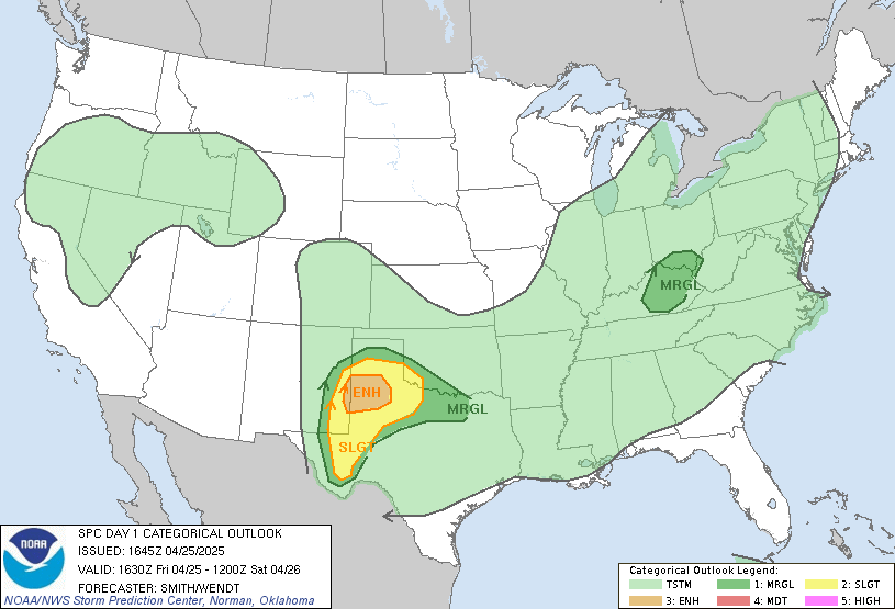
Well, looks like we do have a marginal risk for a large portion of NC and a little bit of SC.

day1otlk_1630.gif
 
Prayers for Ashe County NC. Destructive storm currently.
 
Back
Top