Cloudy and still hotter than yesterday

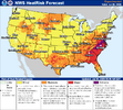
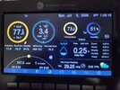
We went well below our advertised low of 78 last night. Hoping that translates into a cooler day today than the forecasted 100.Cloudy and still hotter than yesterday



We went well below our advertised low of 78 last night. Hoping that translates into a cooler day today than the forecasted 100.
The models seem to be going back and forth with this. Some now have another ridge right on top of us, but it was WAY out in fantasyland. The next one will probably not be over us, but it has been trending east slowly. I have not looked at any 12z stuff yet, so things may have changed. I would not like to be in the southern plains in about a week, though. I think they are in for it out there.We are going to find a way to end up with that next ridge over the region and it's going to be terrible

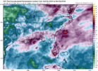
Yes we are in trouble. Models have been trying to retrograde the ridge west for about 3 months and it happens for a couple hours then its right back in the east. Bet the streakThe 12z Euro is horrible in the 300+ hour range. A 600 dm ridge centered on Memphis TENN. At 342 it has Columbia SC at 108. Thankfully this is way out here and will hopefully change.
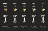
I just looked again and it's incredible. It shows a LOW of 90 where I live on 7-19-2026.
Some high cloud cover has helped out a little over here today. Dewpoints finally on their way down too. Dewpoint is 64 in Spartanburg now.Heat ridge is probably maxing out locally dews mixing out big time temps still rolling up
99.5 so far imby, highs have been about 5 or 530 this week so might make 100Some high cloud cover has helped out a little over here today. Dewpoints finally on their way down too. Dewpoint is 64 in Spartanburg now.

99.5 so far imby, highs have been about 5 or 530 this week so might make 100
Seasonal trends are hard to breakYes we are in trouble. Models have been trying to retrograde the ridge west for about 3 months and it happens for a couple hours then its right back in the east. Bet the streak


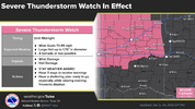

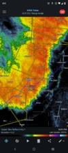
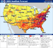
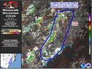
You are about to get POUNDED. 80+ mph winds in these storms.Heat index peaked at 111 earlier
And we're "cooler" than the east coast
Mother nature may have her own fireworks tonight though
View attachment 196671