Webberweather53
Meteorologist
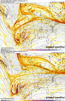
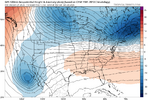
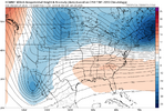
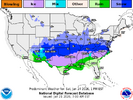
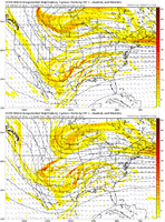
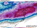
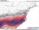
Whenever I see the EURO and UKMET with similar solutions, I have found they are hard to bet against. Yes they tend to erode CAD too fast but they also can pick up on the dreaded warm nose better than the GFS/Icon and that is what they are doing here. Surface temps will likely be predicted too high on them but the problem is the upper levels warming causing the ZR and IP to increase and snow to decrease in amount and area coverage. I am old so I remember a storm in W-S back in the early 80's and watching Paul Delagato explaining why we were getting IP instead of SN at 17 degrees. It never rose above that surface temp but the IP went on for hours it seemed.
The parent High has been nudging North now for several EURO runs and, even though it still remains pretty strong, it moved from NY up into Canada and that is never good for us regardless of the strength of the High. It is NOT just the millibars of the High but also the location of where it sits. Could things still make some changes, absolutely (and probably will) but I don't see them being major ones. I am still hoping Atlanta and Charlotte can miss out on the ZR because those metro areas have huge populations that could be dangerously affected by a lot of ZR
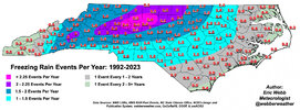
Climatologically, Greensboro is the freezing rain capital of the Carolinas. Any more north or amped trends would put them in the line of fire, tho I personally think the CAD will verify stronger than the Euro or UK solutions
