Sctvman
Member
Philpott is on it


Gotta say, I have learned a lot about AI models from you. Very interesting how it works truly feels like Next Gen weather forecasting. Obviously not going to be super accurate long range. But gotta say, AIFS has been on this storm for a very long time in general.This *could* be an insane ICON run

It's even better....colder
Close for Atlanta, but a slam for toccoa... Reminds me of 2021 too much and I don't like that... That was a heartbreak
and that is fine for me...sleet or snow no ZR for me... on to the GFS and GEM...
ICON looks rather fabulous. Baja low a little more east but so was the PV which will keep this from trending north.
I do not. We need deep cold air. But hey, none of us know exactly what's going to happen. Wouldn't surprise me if the GFS was south again though, but no concerns with itI think we need to be worried about suppression more than anything tbh
Sent from my iPhone using Tapatalk
I do not. We need deep cold air. But hey, none of us know exactly what's going to happen. Wouldn't surprise me if the GFS was south again though, but no concerns with it
I do not. We need deep cold air. But hey, none of us know exactly what's going to happen. Wouldn't surprise me if the GFS was south again though, but no concerns with it
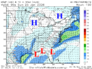
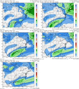
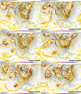
Wtf, these surface temps are wild View attachment 185339View attachment 185341View attachment 185342
I hear ya, but the cold TPV is sliding moreso east across southern Canada rather than dropping strongly south into the conus. Only the last GFS run was really dropping it south....again, not concerned with the GFS. Sure, I'd love it to look great, but not going to let it ruin my sleep at nightI just feel like deep cold air has suppressed storms the last couple of years. But after today’s storm yes we need the cold air in here lol
Sent from my iPhone using Tapatalk
I hear ya, but the cold TPV is sliding moreso east across southern Canada rather than dropping strongly south into the conus. Only the last GFS run was really dropping it south....again, not concerned with the GFS. Sure, I'd love it to look great, but not going to let it ruin my sleep at night
Would be happy to, or even a Q+A threadMaybe SouthernWx needs a Youtube video, question and answer session with you about AI-weather.

