• Hello, please take a minute to check out our awesome content, contributed by the wonderful members of our community. We hope you'll add your own thoughts and opinions by making a free account!

Pattern January 21-24 2025

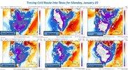
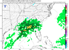
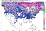
View attachment 162822View attachment 162823Really looks like a ice pattern right now east of the apps especially if the first initial storm phases and pulls a lot of high pressure before the overrunning shows up

This time I’m going to need to see a big high pressure in NY or PA even to be interested. Hs out west don’t do the job. I’m learning. At least it doesn’t have a lake low so far.
 
Yeah that angle I think kinda sucks with the cold heading to Texas. And the artic boundary through the apps and se. If we can get it more southeast with the boundary off the coast, perhaps we could cook with good cad.

Right I'm not saying it will or won't push east it's more the signal showing up than anything. It's crazy for this far out

Let's not forget 10 days out before the last storm it was gonna be below zero and snow in Florida 😜
 
Right I'm not saying it will or won't push east it's more the signal showing up than anything. It's crazy for this far out

Yep, and you’re in a good spot either way. Cold is coming, but that pattern is where the mountains can trip us up down here.
 
Right now. This 18-25th period looks interesting for sure. The cold looks stout though. Could mean overbearing dry cold that’s wasted for winter weather lovers.

I’m glad it looks overbearing now as we still have plenty of time to for things to shake differently over the next week.
 
Back
Top