My takes.
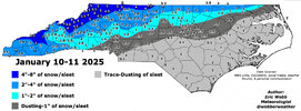
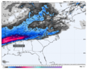
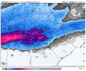
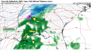
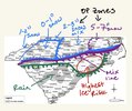
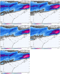
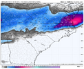
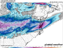
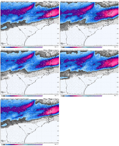
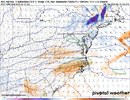
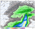
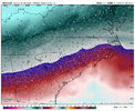
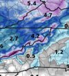
1-3" seems like a safe bet for CLT, though the WRF-NSSL provides an example of what the boom potential could be with this storm. My caveats on both sides is one, a potent band could set up giving a few localized areas more snow and two, mixing is becoming a worry for me.
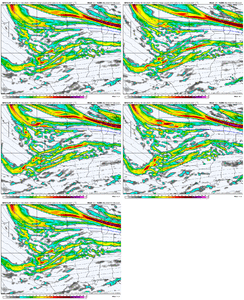
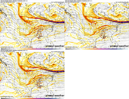
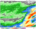
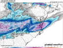
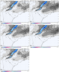
Even with the worst possible convection, I feel like there would be more expansive(note: I said expansive, not heavy) precip than a lot of the models are showing given the jet streak, RH, and the frontogenesis. The past two storms had dry air be an issue, dry air isn't an issue this time. Precip might be light, but I won't be surprised if by early afternoon tomorrow light precip goes up to the foothills.
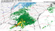
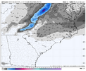
That post-storm feature could easily beef up final totals for the western half of NC if everything goes right.

